Home
Images
Vectors
Videos
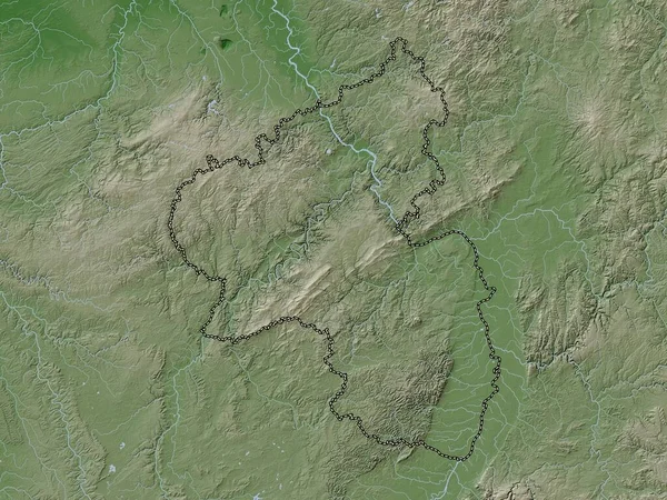
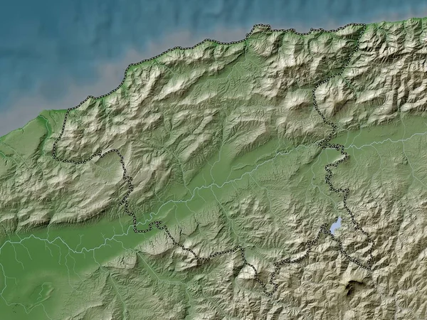
Stock image Relizane, province of Algeria. Elevation map colored in wiki style with lakes and rivers
Published:
Sep.12, 2022 09:42:51
Author:
Yarr65
Views:
1
Downloads:
0
File type:
image
/
jpg
File size:
7.76 MB
Orginal size:
3840
x
2880
px
Available sizes:
S
(500 x 375)
M
(1000 x 750)
L
(2000 x 1500)
XL
(3840 x 2880)
EL0
(3840 x 2880)
Level:
bronze
Download Image
Image topics:
Shape
Nature
Border
Contour
Earth
Planet
World
Ocean
Science
Capital
Outline
Country
Map
Geography
Africa
Algeria
Continent
Land
Zoom
Region
Territory
Atlas
Province
Legend
Algiers
Stereographic
Mansoura
Dza
Relizane
Administrative Division
Remchi
Bensekrane
Hennaya
Ouled Mimoun
Nedroma
Sidi Senoussi
Sidi Abdelli
Beni Mester
Chetouane
Similar stock images
Chlef, Province Of Algeria. Elevation Map Colored In Wiki Style With Lakes And Rivers
3840 × 2880
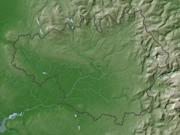
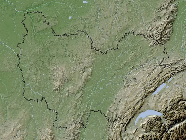
Borsod-Abauj-Zemplen, County Of Hungary. Elevation Map Colored In Wiki Style With Lakes And Rivers
3840 × 2880
Bejaia, Province Of Algeria. Elevation Map Colored In Wiki Style With Lakes And Rivers
3840 × 2880
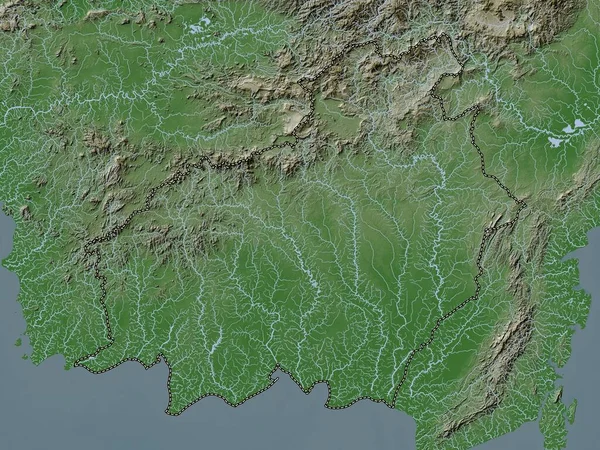
Bourgogne-Franche-Comte, Region Of France. Elevation Map Colored In Wiki Style With Lakes And Rivers
3840 × 2880
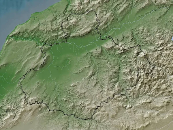
Ain Temouchent, Province Of Algeria. Elevation Map Colored In Wiki Style With Lakes And Rivers
3840 × 2880
Kalimantan Tengah, Province Of Indonesia. Elevation Map Colored In Wiki Style With Lakes And Rivers
3840 × 2880
Greater Manchester, Region Of England - Great Britain. Elevation Map Colored In Wiki Style With Lakes And Rivers
3840 × 2880
Rheinland-Pfalz, State Of Germany. Elevation Map Colored In Wiki Style With Lakes And Rivers
3840 × 2880