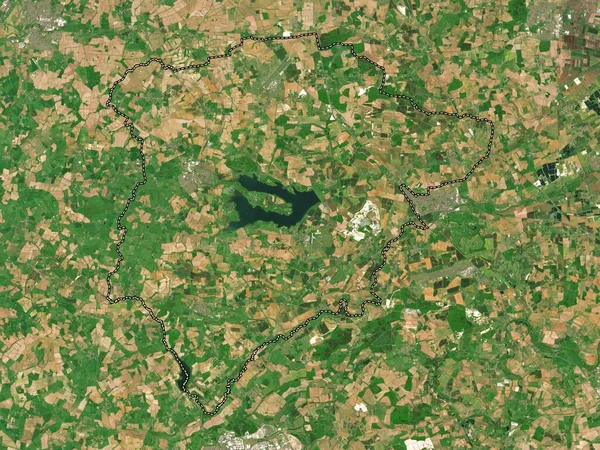
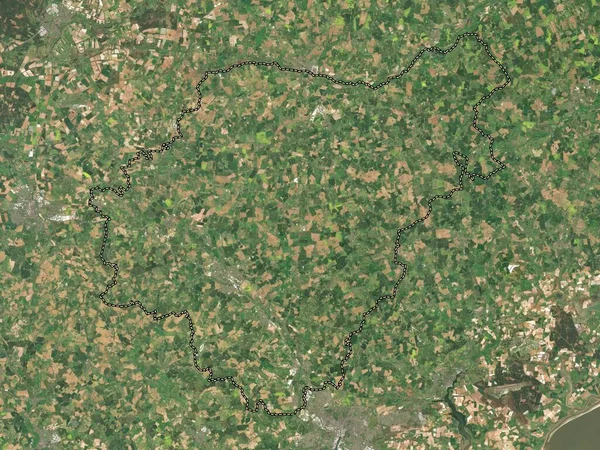
Stock image Rutland, unitary authority of England - Great Britain. Low resolution satellite map
Published: Apr.21, 2023 13:09:50
Author: Yarr65
Views: 0
Downloads: 0
File type: image / jpg
File size: 8.98 MB
Orginal size: 3840 x 2880 px
Available sizes:
Level: bronze
Similar stock images
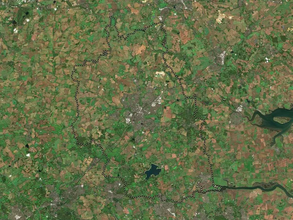
Doncaster, Administrative County Of England - Great Britain. Low Resolution Satellite Map
3840 × 2880
Mid Suffolk, Non Metropolitan District Of England - Great Britain. Low Resolution Satellite Map
3840 × 2880
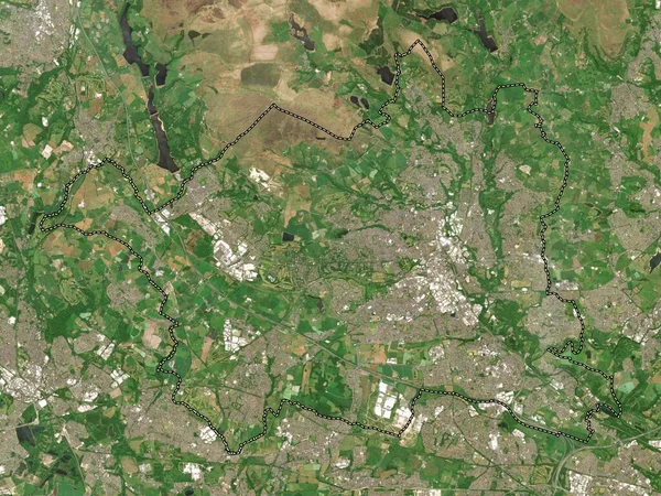
Milton Keynes, Unitary Authority Of England - Great Britain. Low Resolution Satellite Map
3840 × 2880
Chorley, Non Metropolitan District Of England - Great Britain. Low Resolution Satellite Map
3840 × 2880

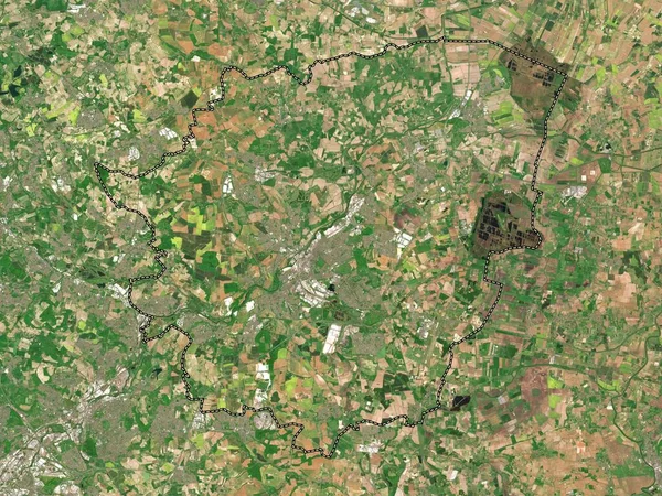
Bassetlaw, Non Metropolitan District Of England - Great Britain. Low Resolution Satellite Map
3840 × 2880
East Hertfordshire, Non Metropolitan District Of England - Great Britain. Low Resolution Satellite Map
3840 × 2880