
Stock image Sagar Island in the Bay of Bengal on a satellite image taken in February 13, 2023

Published: Sep.11, 2024 14:53:45
Author: zelwanka
Views: 0
Downloads: 0
File type: image / jpg
File size: 6.74 MB
Orginal size: 2880 x 1620 px
Available sizes:
Level: beginner
Similar stock images

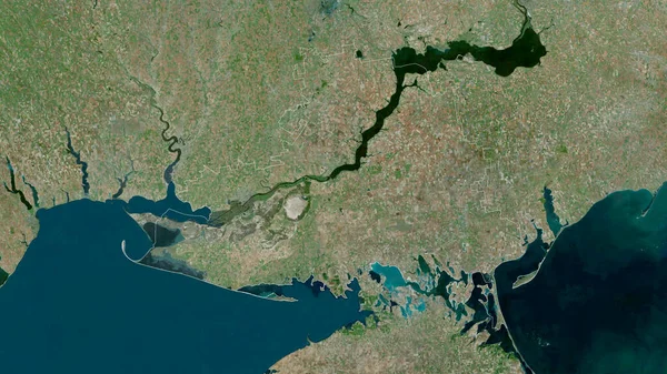
Ben Tre, Province Of Vietnam. Satellite Imagery. Shape Outlined Against Its Country Area. 3D Rendering
2880 × 1620
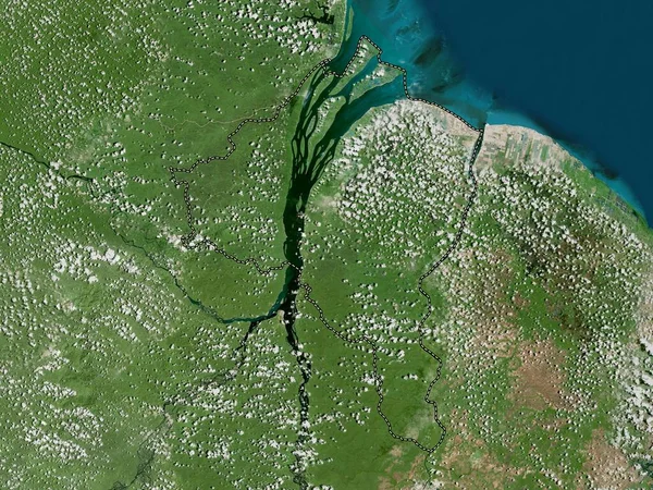
Lower River, Division Of Gambia. Satellite Imagery. Shape Outlined Against Its Country Area. 3D Rendering
2880 × 1620
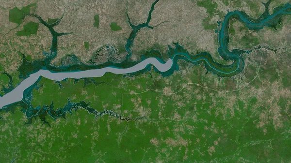
Kherson, Region Of Ukraine. Satellite Imagery. Shape Outlined Against Its Country Area. 3D Rendering
2880 × 1620
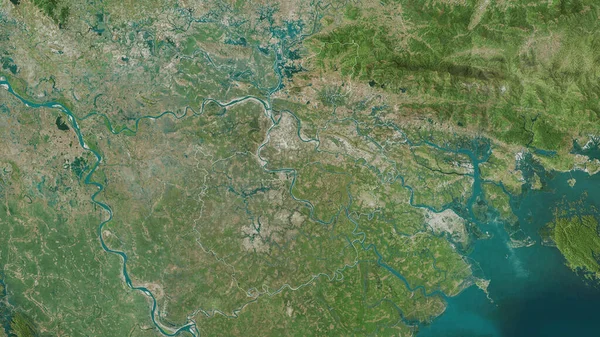
Hai Duong, Province Of Vietnam. Satellite Imagery. Shape Outlined Against Its Country Area. 3D Rendering
2880 × 1620


