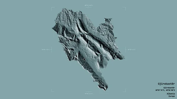
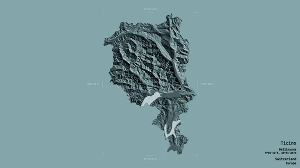
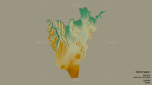
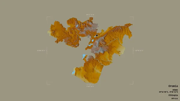
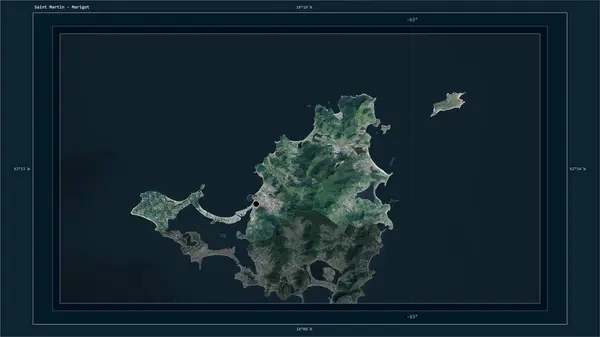
Stock image Saint Martin highlighted on a high resolution satellite map map with the country's capital point, cartographic grid, distance scale and map border coordinates
Published: Dec.28, 2023 14:12:43
Author: zelwanka
Views: 0
Downloads: 0
File type: image / jpg
File size: 1.38 MB
Orginal size: 2880 x 1620 px
Available sizes:
Level: beginner