photo free
Home Images Vectors Videos

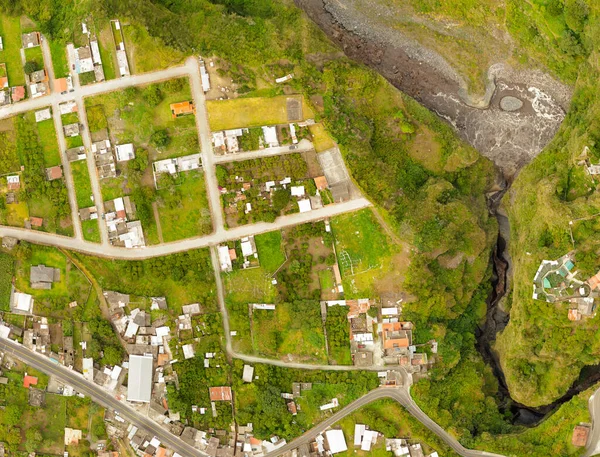
Stock image San Martin Canyon Banos De Agua Santa Orthorectified Drone Aerial Map Used For Photogrammetry
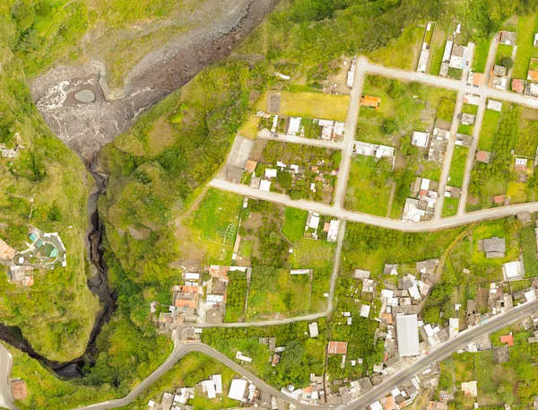
Stock image San Martin Canyon Banos De Agua Santa Orthorectified Drone Aerial Map Used For Photogrammetry
Published: Apr.23, 2018 10:44:35
Author: ammmit
Views: 240
Downloads: 26
File type: image / jpg
File size: 23.45 MB
Orginal size: 5000 x 3812 px
Available sizes:
S
(500 x 381)
M
(1000 x 762)
L
(2000 x 1525)
XL
(5000 x 3812)
EL0
(5000 x 3812)
Level: bronze
Download Image
Image topics:

Similar stock images

stock image San Martin Canyon Banos De Agua Santa Orthorectified Drone Aerial Map Used For Photogrammetry

San Martin Canyon Banos De Agua Santa Orthorectified Drone Aerial Map Used For Photogrammetry

5000 × 3812
stock image Aerial city view with crossroads of Banos, Ecuador

Aerial City View With Crossroads Of Banos, Ecuador

4505 × 2912
stock image orthorectified aerial image

Orthorectified Aerial Image

5249 × 7000
stock image Aerial city view with roads of Banos, Ecuador

Aerial City View With Roads Of Banos, Ecuador

4505 × 2912
stock image aerial view of road and village in Romania

Aerial View Of Road And Village In Romania

3000 × 2175
stock image Top View Of Buildings In Banos De Agua Santa, Ecuador

Top View Of Buildings In Banos De Agua Santa, Ecuador

4505 × 2912
stock image Overall aerial view of Banos, Ecuador

Overall Aerial View Of Banos, Ecuador

4505 × 2912