Home
Images
Vectors
Videos
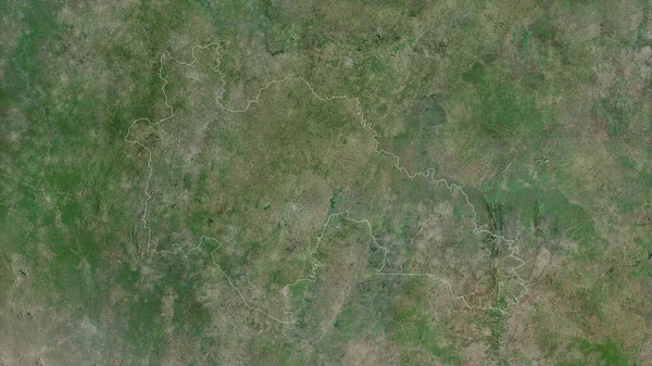
Stock image Savanes, district of Cote d'Ivoire. Satellite imagery. Shape outlined against its country area. 3D rendering
Published:
Aug.04, 2020 13:20:08
Author:
Yarr65
Views:
1
Downloads:
0
File type:
image
/
jpg
File size:
7.69 MB
Orginal size:
2880
x
1620
px
Available sizes:
S
(500 x 281)
M
(1000 x 563)
L
(2000 x 1125)
XL
(2880 x 1620)
EL0
(2880 x 1620)
Level:
bronze
Download Image
Image topics:
View
Shape
Travel
Nature
Border
Landscape
Glow
Contour
Scale
Earth
Planet
World
Ocean
Science
Capital
Profile
Outline
Country
District
Map
Cartography
Geography
Africa
Continent
Land
Zoom
Satellite
Region
Territory
Outlined
Atlas
Legend
Overlay
Yamoussoukro
3d Rendering
Ivory Coast
Civ
Subregion
Korhogo
Savanes
Administrative Division
Similar stock images
Diourbel, Region Of Senegal. Satellite Imagery. Shape Outlined Against Its Country Area. 3D Rendering
2880 × 1620
Rivera, Department Of Uruguay. Satellite Imagery. Shape Outlined Against Its Country Area. 3D Rendering
2880 × 1620
Kara, Region Of Togo. Satellite Imagery. Shape Outlined Against Its Country Area. 3D Rendering
2880 × 1620
Valle Du Bandama, District Of Cote D'Ivoire. Satellite Imagery. Shape Outlined Against Its Country Area. 3D Rendering
2880 × 1620
Labe , Region Of Guinea. Satellite Imagery. Shape Outlined Against Its Country Area. 3D Rendering
2880 × 1620
Haute-Kotto, Prefecture Of Central African Republic. Satellite Imagery. Shape Outlined Against Its Country Area. 3D Rendering
2880 × 1620
Voronezh, Region Of Russia. Satellite Imagery. Shape Outlined Against Its Country Area. 3D Rendering
2880 × 1620
Kayes, Region Of Mali. Satellite Imagery. Shape Outlined Against Its Country Area. 3D Rendering
2880 × 1620