Home
Images
Vectors
Videos
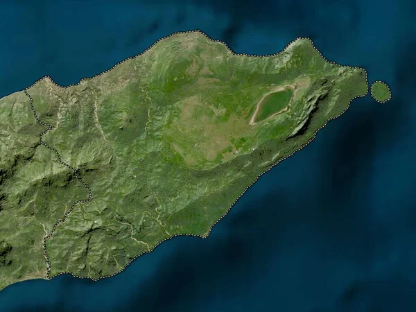
Stock image Sevastopol', autonomous republic of Ukraine. Colored elevation map with lakes and rivers
Published:
Apr.21, 2023 12:54:20
Author:
Yarr65
Views:
0
Downloads:
0
File type:
image
/
jpg
File size:
4.67 MB
Orginal size:
3840
x
2880
px
Available sizes:
S
(500 x 375)
M
(1000 x 750)
L
(2000 x 1500)
XL
(3840 x 2880)
EL0
(3840 x 2880)
Level:
bronze
Download Image
Image topics:
Shape
Nature
Border
Contour
Earth
Planet
World
Ocean
Ukraine
Science
Capital
Europe
Outline
Country
Map
Geography
Continent
Land
Zoom
Region
Kyiv
Territory
Atlas
Legend
Balaklava
Sevastopol
Stereographic
Kacha
Solnechniy
Ukr
Autonomous Republic
Administrative Division
Polyushko
Pervomayskoye
Ternovka
Orlinoye
Andreyevka
Fruktovoye
Shturmovoye
Frontovoye
Khmelnitskoye
Verkhnesadovoye
Sakharnaya Golovka
Rodnoye
Similar stock images
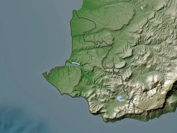
Sevastopol', Autonomous Republic Of Ukraine. Elevation Map Colored In Wiki Style With Lakes And Rivers
3840 × 2880
Zoom In On Saint Thomas (parish Of Jamaica) Outlined. Oblique Perspective. Colored And Bumped Map Of The Administrative Division With Surface Waters. 3D Rendering
3840 × 2160
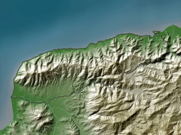
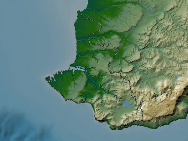
Liquica, Municipality Of East Timor. Elevation Map Colored In Wiki Style With Lakes And Rivers
3840 × 2880
Liquica, Municipality Of East Timor. Colored Elevation Map With Lakes And Rivers
3840 × 2880
Corse, Region Of France. High Resolution Satellite Map
3840 × 2880
Lautem, Municipality Of East Timor. Low Resolution Satellite Map
3840 × 2880
Grand'Anse - Department Of Haiti Zoomed And Highlighted. Satellite Imagery. 3D Rendering
2880 × 1620
Guantanamo, Province Of Cuba. Colored Relief With Lakes And Rivers. Shape Outlined Against Its Country Area. 3D Rendering
2880 × 1620