photo free
Home Images Vectors Videos

Stock image Shape of a elevation map colored in sepia tones with lakes and rivers of the Cabo Verde, with distance scale and map border coordinates, isolated on white

Stock image Shape of a elevation map colored in sepia tones with lakes and rivers of the Cabo Verde, with distance scale and map border coordinates, isolated on white
Published: Dec.28, 2023 15:04:29
Author: zelwanka
Views: 0
Downloads: 0
File type: image / jpg
File size: 0.43 MB
Orginal size: 2193 x 2051 px
Available sizes:
S
(500 x 468)
M
(1000 x 935)
L
(2000 x 1870)
XL
(2193 x 2051)
EL0
(2193 x 2051)
Level: beginner
Download Image
Image topics:

Similar stock images

stock image Valverde, province of Dominican Republic. Sentinel-2 satellite imagery. Shape isolated on solid background with informative overlays. Contains modified Copernicus Sentinel data

Valverde, Province Of Dominican Republic. Sentinel-2 Satellite Imagery. Shape Isolated On Solid Background With Informative Overlays. Contains Modified Copernicus Sentinel Data

3294 × 3035
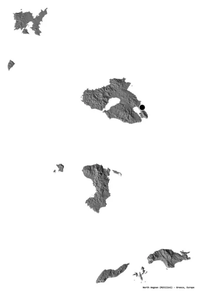
stock image Shape of North Aegean, decentralized administration of Greece, with its capital isolated on white background. Bilevel elevation map. 3D rendering

Shape Of North Aegean, Decentralized Administration Of Greece, With Its Capital Isolated On White Background. Bilevel Elevation Map. 3D Rendering

2615 × 3836
stock image Area of Takev, province of Cambodia, isolated on a solid background in a georeferenced bounding box. Labels. Satellite imagery. 3D rendering

Area Of Takev, Province Of Cambodia, Isolated On A Solid Background In A Georeferenced Bounding Box. Labels. Satellite Imagery. 3D Rendering

2880 × 1620
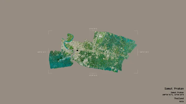
stock image Area of Samut Prakan, province of Thailand, isolated on a solid background in a georeferenced bounding box. Labels. Satellite imagery. 3D rendering

Area Of Samut Prakan, Province Of Thailand, Isolated On A Solid Background In A Georeferenced Bounding Box. Labels. Satellite Imagery. 3D Rendering

2880 × 1620
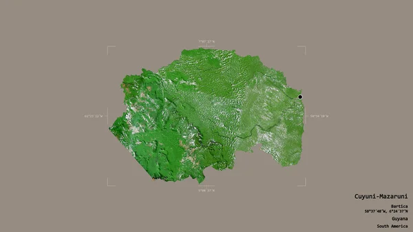
stock image Area of Cuyuni-Mazaruni, region of Guyana, isolated on a solid background in a georeferenced bounding box. Labels. Satellite imagery. 3D rendering

Area Of Cuyuni-Mazaruni, Region Of Guyana, Isolated On A Solid Background In A Georeferenced Bounding Box. Labels. Satellite Imagery. 3D Rendering

2880 × 1620
stock image Shape of Tarapaca, region of Chile, and its capital. Distance scale, previews and labels. Topographic relief map. 3D rendering

Shape Of Tarapaca, Region Of Chile, And Its Capital. Distance Scale, Previews And Labels. Topographic Relief Map. 3D Rendering

2880 × 1620
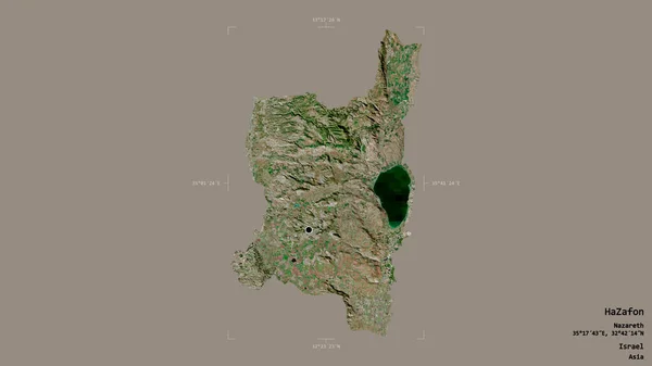
stock image Area of HaZafon, district of Israel, isolated on a solid background in a georeferenced bounding box. Labels. Satellite imagery. 3D rendering

Area Of HaZafon, District Of Israel, Isolated On A Solid Background In A Georeferenced Bounding Box. Labels. Satellite Imagery. 3D Rendering

2880 × 1620
stock image Area of Kano, state of Nigeria, isolated on a solid background in a georeferenced bounding box. Labels. Satellite imagery. 3D rendering

Area Of Kano, State Of Nigeria, Isolated On A Solid Background In A Georeferenced Bounding Box. Labels. Satellite Imagery. 3D Rendering

2880 × 1620