Home
Images
Vectors
Videos
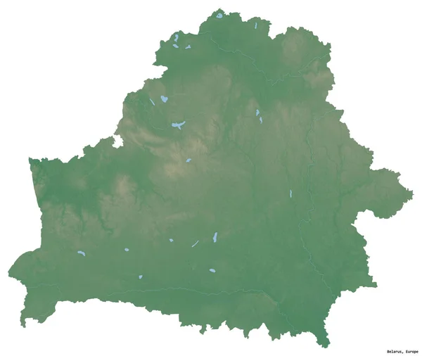
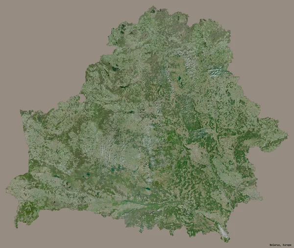
Stock image Shape of a high resolution satellite map of the Belarus, with distance scale and map border coordinates, isolated on white
Published:
Dec.28, 2023 14:08:10
Author:
zelwanka
Views:
0
Downloads:
0
File type:
image
/
jpg
File size:
3.34 MB
Orginal size:
2286
x
1967
px
Available sizes:
S
(500 x 430)
M
(1000 x 860)
L
(2000 x 1721)
XL
(2286 x 1967)
EL0
(2286 x 1967)
Level:
beginner
Download Image
Image topics:
White
Solid
Isolated
Shape
Nature
Border
Belarus
Contour
Earth
Planet
World
Ocean
Science
Capital
Europe
Imagery
Outline
Country
Map
Geography
Continent
Land
Zoom
Satellite
Minsk
Region
Territory
Atlas
Legend
Coordinates
Stereographic
Blr
Distance Scale
Administrative Division
Similar stock images
Shape Of Belarus With Its Capital Isolated On A Solid Color Background. Satellite Imagery. 3D Rendering
2745 × 2318
Shape Of Nord-Ouest, Region Of Cameroon, With Its Capital Isolated On White Background. Satellite Imagery. 3D Rendering
3836 × 3466
Shape Of Belarus With Its Capital Isolated On White Background. Topographic Relief Map. 3D Rendering
2745 × 2318
Shape Of Concepcion, Department Of Paraguay, With Its Capital Isolated On White Background. Satellite Imagery. 3D Rendering
3836 × 3200
Shape Of Smolensk, Region Of Russia, With Its Capital Isolated On A Solid Color Background. Satellite Imagery. 3D Rendering
3836 × 3215
Shape Of Taurages, County Of Lithuania, With Its Capital Isolated On White Background. Satellite Imagery. 3D Rendering
3836 × 2635
Shape Of Arad, County Of Romania, With Its Capital Isolated On White Background. Satellite Imagery. 3D Rendering
3836 × 2211
Shape Of Bourgogne-Franche-Comte, Region Of France, With Its Capital Isolated On White Background. Satellite Imagery. 3D Rendering
3836 × 2987