Home
Images
Vectors
Videos
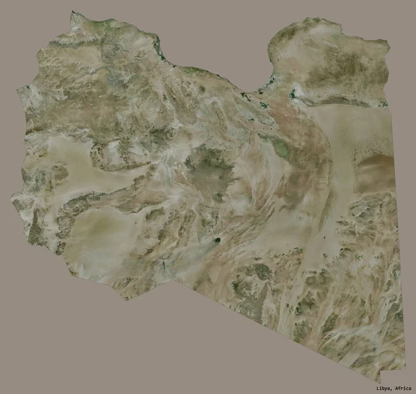
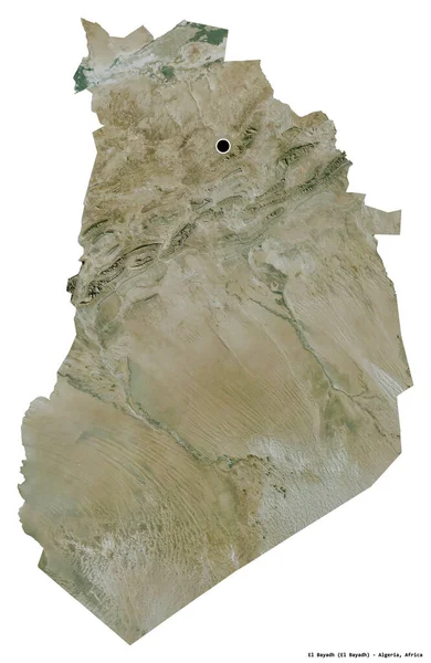
Stock image Shape of a high resolution satellite map of the Libya, with distance scale and map border coordinates, isolated on white
Published:
Dec.28, 2023 14:19:04
Author:
zelwanka
Views:
0
Downloads:
0
File type:
image
/
jpg
File size:
2.65 MB
Orginal size:
2165
x
2077
px
Available sizes:
S
(500 x 480)
M
(1000 x 959)
L
(2000 x 1919)
XL
(2165 x 2077)
EL0
(2165 x 2077)
Level:
beginner
Download Image
Image topics:
White
Solid
Isolated
Shape
Nature
Border
Contour
Earth
Planet
World
Ocean
Science
Capital
Imagery
Outline
Country
Map
Geography
Africa
Continent
Land
Zoom
Satellite
Region
Territory
Atlas
Legend
Coordinates
Libya
Tripoli
Stereographic
Distance Scale
Lby
Administrative Division
Similar stock images
Shape Of Murzuq, District Of Libya, With Its Capital Isolated On White Background. Satellite Imagery. 3D Rendering
3836 × 2798
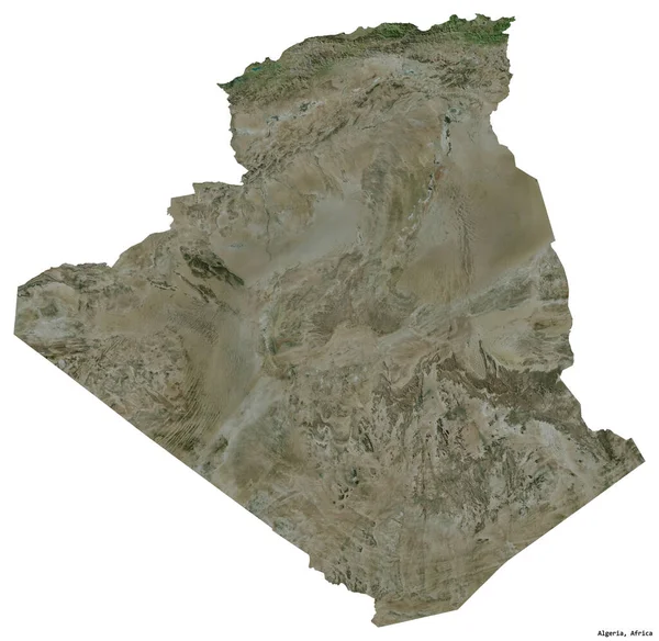
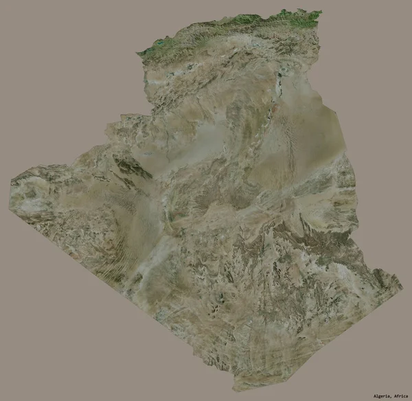
Shape Of Algeria With Its Capital Isolated On White Background. Satellite Imagery. 3D Rendering
2442 × 2378
Shape Of Al Wahat, District Of Libya, With Its Capital Isolated On A Solid Color Background. Satellite Imagery. 3D Rendering
3836 × 2921
Shape Of Bukhoro, Region Of Uzbekistan, With Its Capital Isolated On A Solid Color Background. Satellite Imagery. 3D Rendering
3726 × 3836
Shape Of El Bayadh, Province Of Algeria, With Its Capital Isolated On White Background. Satellite Imagery. 3D Rendering
2496 × 3836
Shape Of Algeria With Its Capital Isolated On A Solid Color Background. Satellite Imagery. 3D Rendering
2442 × 2378
Shape Of Libya With Its Capital Isolated On A Solid Color Background. Satellite Imagery. 3D Rendering
2099 × 1989
Shape Of Al Isma, Governorate Of Egypt, With Its Capital Isolated On Solid Background. Distance Scale, Region Preview And Labels. Satellite Imagery. 3D Rendering
2880 × 1620