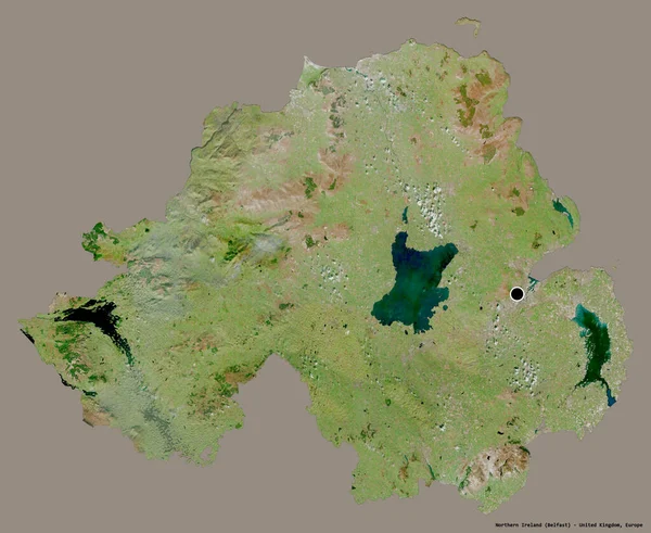
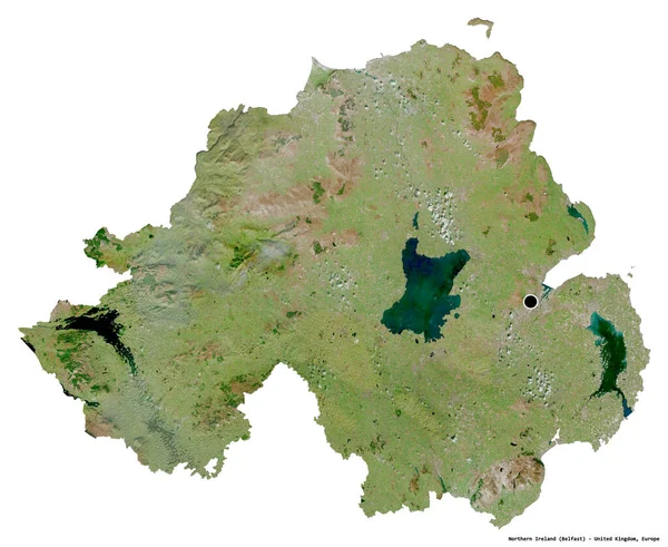
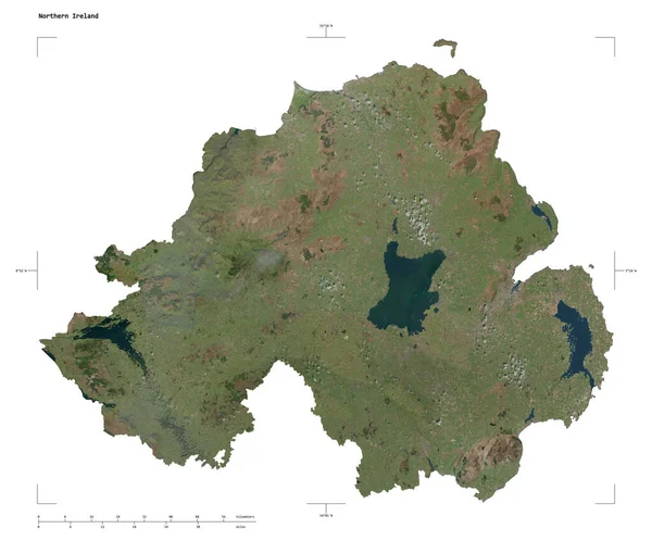
Stock image Shape of a high resolution satellite map of the Northern Ireland, with distance scale and map border coordinates, isolated on white
Published: Dec.28, 2023 14:11:00
Author: zelwanka
Views: 0
Downloads: 0
File type: image / jpg
File size: 3.01 MB
Orginal size: 2328 x 1932 px
Available sizes:
Level: beginner