photo free
Home Images Vectors Videos

Stock image Shape of a high resolution satellite map of the Trinidad and Tobago, with distance scale and map border coordinates, isolated on white

Stock image Shape of a high resolution satellite map of the Trinidad and Tobago, with distance scale and map border coordinates, isolated on white
Published: Dec.28, 2023 14:11:00
Author: zelwanka
Views: 0
Downloads: 0
File type: image / jpg
File size: 1.35 MB
Orginal size: 2186 x 2058 px
Available sizes:
S
(500 x 471)
M
(1000 x 941)
L
(2000 x 1883)
XL
(2186 x 2058)
EL0
(2186 x 2058)
Level: beginner
Download Image
Image topics:

Similar stock images

stock image Shape of Ishikawa, prefecture of Japan, with its capital isolated on white background. Satellite imagery. 3D rendering

Shape Of Ishikawa, Prefecture Of Japan, With Its Capital Isolated On White Background. Satellite Imagery. 3D Rendering

1975 × 3836
stock image Area of Nabeul, governorate of Tunisia, isolated on a solid background in a georeferenced bounding box. Labels. Satellite imagery. 3D rendering

Area Of Nabeul, Governorate Of Tunisia, Isolated On A Solid Background In A Georeferenced Bounding Box. Labels. Satellite Imagery. 3D Rendering

2880 × 1620
stock image Shape of Zabaykal'ye, territory of Russia, with its capital isolated on white background. Satellite imagery. 3D rendering

Shape Of Zabaykal'ye, Territory Of Russia, With Its Capital Isolated On White Background. Satellite Imagery. 3D Rendering

2715 × 3836
stock image Shape of Granma, province of Cuba, with its capital isolated on solid background. Distance scale, region preview and labels. Satellite imagery. 3D rendering

Shape Of Granma, Province Of Cuba, With Its Capital Isolated On Solid Background. Distance Scale, Region Preview And Labels. Satellite Imagery. 3D Rendering

2880 × 1620
stock image Shape of Sulawesi Utara, province of Indonesia, with its capital isolated on white background. Satellite imagery. 3D rendering

Shape Of Sulawesi Utara, Province Of Indonesia, With Its Capital Isolated On White Background. Satellite Imagery. 3D Rendering

2994 × 3836
stock image Area of Osaka, urban prefecture of Japan, isolated on a solid background in a georeferenced bounding box. Labels. Colored elevation map. 3D rendering

Area Of Osaka, Urban Prefecture Of Japan, Isolated On A Solid Background In A Georeferenced Bounding Box. Labels. Colored Elevation Map. 3D Rendering

2880 × 1620
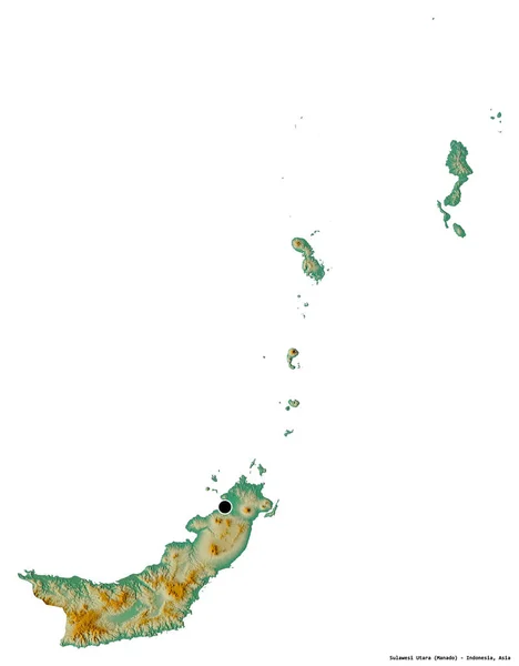
stock image Shape of Sulawesi Utara, province of Indonesia, with its capital isolated on white background. Topographic relief map. 3D rendering

Shape Of Sulawesi Utara, Province Of Indonesia, With Its Capital Isolated On White Background. Topographic Relief Map. 3D Rendering

2994 × 3836
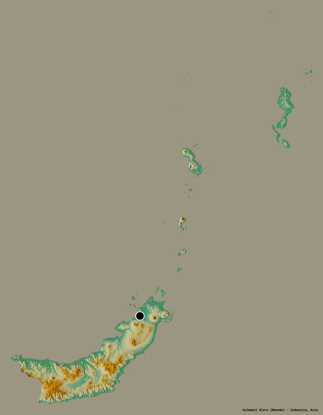
stock image Shape of Sulawesi Utara, province of Indonesia, with its capital isolated on a solid color background. Topographic relief map. 3D rendering

Shape Of Sulawesi Utara, Province Of Indonesia, With Its Capital Isolated On A Solid Color Background. Topographic Relief Map. 3D Rendering

2994 × 3836