photo free
Home Images Vectors Videos

Stock image Shape of a Pale colored elevation map with lakes and rivers of the French Guiana, with distance scale and map border coordinates, isolated on white

Stock image Shape of a Pale colored elevation map with lakes and rivers of the French Guiana, with distance scale and map border coordinates, isolated on white
Published: Dec.28, 2023 14:44:58
Author: zelwanka
Views: 0
Downloads: 0
File type: image / jpg
File size: 3.28 MB
Orginal size: 1942 x 2316 px
Available sizes:
S
(419 x 500)
M
(839 x 1000)
L
(1677 x 2000)
XL
(1942 x 2316)
EL0
(1942 x 2316)
Level: beginner
Download Image
Image topics:

Similar stock images

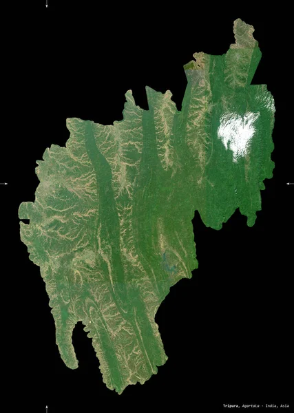
stock image Tripura, state of India. Sentinel-2 satellite imagery. Shape isolated on black. Description, location of the capital. Contains modified Copernicus Sentinel data

Tripura, State Of India. Sentinel-2 Satellite Imagery. Shape Isolated On Black. Description, Location Of The Capital. Contains Modified Copernicus Sentinel Data

2670 × 3744
stock image Shape of Kostroma, region of Russia, with its capital isolated on a solid color background. Topographic relief map. 3D rendering

Shape Of Kostroma, Region Of Russia, With Its Capital Isolated On A Solid Color Background. Topographic Relief Map. 3D Rendering

3836 × 2426
stock image Banskobystricky, region of Slovakia. Sentinel-2 satellite imagery. Shape isolated on solid background with informative overlays. Contains modified Copernicus Sentinel data

Banskobystricky, Region Of Slovakia. Sentinel-2 Satellite Imagery. Shape Isolated On Solid Background With Informative Overlays. Contains Modified Copernicus Sentinel Data

3834 × 2607
stock image Puerto Plata, province of Dominican Republic. Sentinel-2 satellite imagery. Shape isolated on solid background with informative overlays. Contains modified Copernicus Sentinel data

Puerto Plata, Province Of Dominican Republic. Sentinel-2 Satellite Imagery. Shape Isolated On Solid Background With Informative Overlays. Contains Modified Copernicus Sentinel Data

4206 × 2377
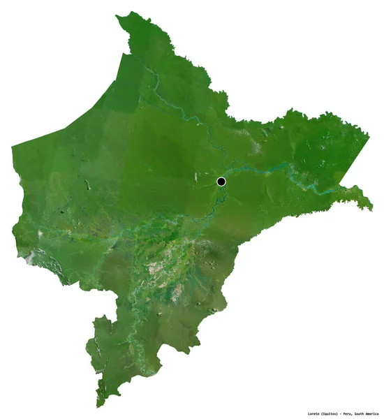
stock image Shape of Loreto, region of Peru, with its capital isolated on white background. Satellite imagery. 3D rendering

Shape Of Loreto, Region Of Peru, With Its Capital Isolated On White Background. Satellite Imagery. 3D Rendering

3516 × 3836
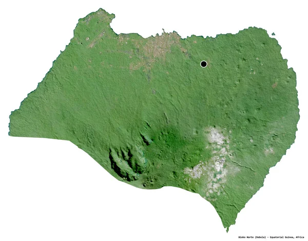
stock image Shape of Bioko Norte, province of Equatorial Guinea, with its capital isolated on white background. Satellite imagery. 3D rendering

Shape Of Bioko Norte, Province Of Equatorial Guinea, With Its Capital Isolated On White Background. Satellite Imagery. 3D Rendering

3836 × 3005
stock image Shape of Phu Tho, province of Vietnam, with its capital isolated on white background. Satellite imagery. 3D rendering

Shape Of Phu Tho, Province Of Vietnam, With Its Capital Isolated On White Background. Satellite Imagery. 3D Rendering

2921 × 3836
stock image Shape of Loreto, region of Peru, with its capital isolated on a solid color background. Satellite imagery. 3D rendering

Shape Of Loreto, Region Of Peru, With Its Capital Isolated On A Solid Color Background. Satellite Imagery. 3D Rendering

3516 × 3836