Home
Images
Vectors
Videos
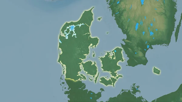
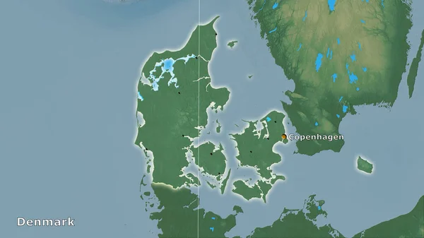
Stock image Shape of Denmark separated by the desaturation of neighboring areas. Borders. Topographic relief map. 3D rendering
Published:
Aug.18, 2020 11:15:27
Author:
Yarr65
Views:
0
Downloads:
0
File type:
image
/
jpg
File size:
2.68 MB
Orginal size:
3000
x
2000
px
Available sizes:
S
(500 x 333)
M
(1000 x 667)
L
(2000 x 1333)
XL
(3000 x 2000)
EL0
(3000 x 2000)
Level:
bronze
Download Image
Image topics:
View
Travel
Nature
Sea
Landscape
Earth
Planet
World
Ocean
Science
Relief
Capital
Europe
Globe
Profile
Country
Map
Cartography
Geography
Continent
Land
Zoom
Denmark
Copenhagen
Region
Territory
Atlas
Overlay
DNK
3d Rendering
Subregion
Administrative Division
Similar stock images
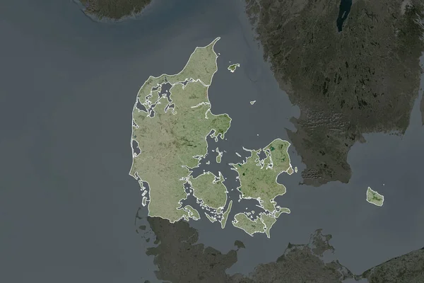
Outlined Shape Of The Denmark Area. Topographic Relief Map With Surface Waters. 3D Rendering
3840 × 2160
Shape Of Denmark Separated By The Desaturation Of Neighboring Areas. Borders. Satellite Imagery. 3D Rendering
3000 × 2000
Denmark Area On The Topographic Relief Map In The Stereographic Projection - Main Composition
2880 × 1620
Denmark Area On The Topographic Relief Map In The Stereographic Projection - Raw Composition Of Raster Layers With Light Glowing Outline
2880 × 1620
Denmark Area On The Topographic Relief Map In The Stereographic Projection - Raw Composition Of Raster Layers
2880 × 1620
Shape Of Denmark Separated By The Desaturation Of Neighboring Areas. Borders. Colored Elevation Map. 3D Rendering
3000 × 2000
Shape Of Denmark Separated By The Desaturation Of Neighboring Areas. Topographic Relief Map. 3D Rendering
3000 × 2000
Denmark Area On The Topographic Relief Map In The Stereographic Projection - Raw Composition Of Raster Layers With Dark Glowing Outline
2880 × 1620