Home
Images
Vectors
Videos
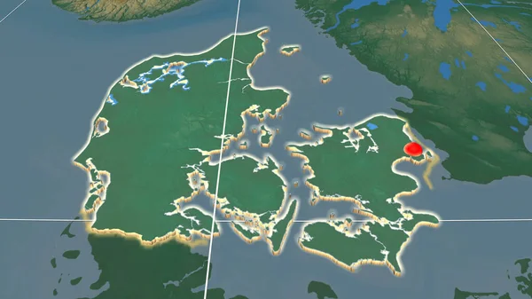
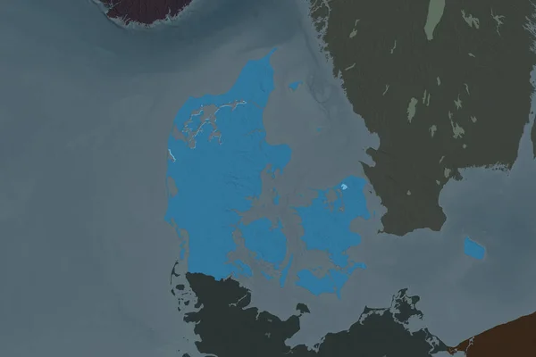
Stock image Shape of Denmark separated by the desaturation of neighboring areas. Topographic relief map. 3D rendering
Published:
Aug.18, 2020 11:15:27
Author:
Yarr65
Views:
0
Downloads:
0
File type:
image
/
jpg
File size:
2.55 MB
Orginal size:
3000
x
2000
px
Available sizes:
S
(500 x 333)
M
(1000 x 667)
L
(2000 x 1333)
XL
(3000 x 2000)
EL0
(3000 x 2000)
Level:
bronze
Download Image
Image topics:
View
Travel
Nature
Sea
Landscape
Earth
Planet
World
Ocean
Science
Relief
Capital
Europe
Globe
Profile
Country
Map
Cartography
Geography
Continent
Land
Zoom
Denmark
Copenhagen
Region
Territory
Atlas
Overlay
DNK
3d Rendering
Subregion
Administrative Division
Similar stock images
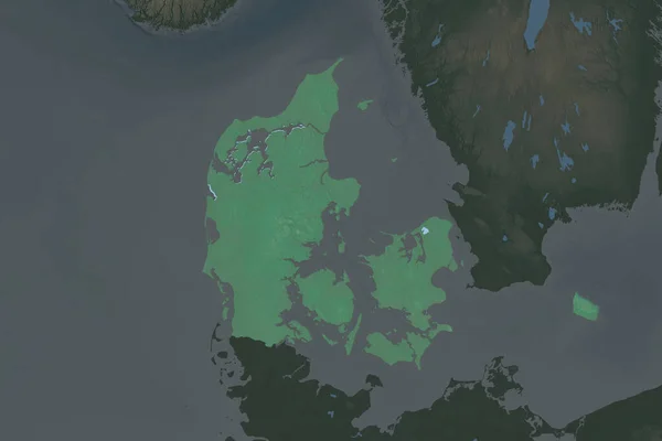
Denmark Area Enlarged And Glowed On A Darkened Background Of Its Surroundings. Relief Map
3840 × 2160
Shape Of Denmark Separated By The Desaturation Of Neighboring Areas. Borders. Topographic Relief Map. 3D Rendering
3000 × 2000
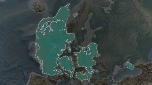
Denmark Area Enlarged And Glowed On A Darkened Background Of Its Surroundings. Satellite Imagery
3840 × 2160
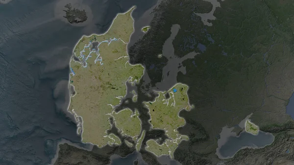
Shape Of Denmark Separated By The Desaturation Of Neighboring Areas. Colored Elevation Map. 3D Rendering
3000 × 2000
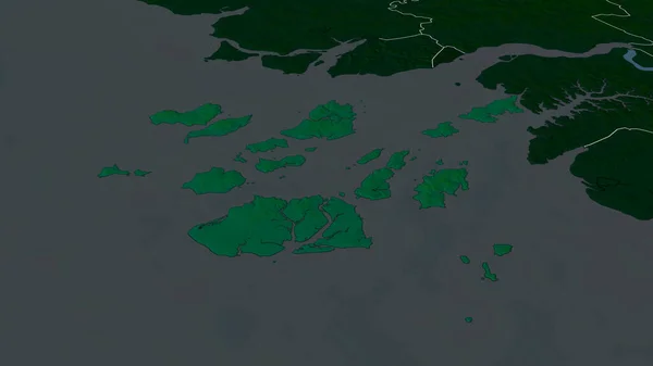
Bolama - Region Of Guinea-Bissau Zoomed And Highlighted. Main Physical Landscape Features. 3D Rendering
2880 × 1620
Denmark Extruded On The Relief Orthographic Map. Capital, Administrative Borders And Graticule
3840 × 2160
Zoom In On Hovedstaden (region Of Denmark) Outlined. Oblique Perspective. Topographic Relief Map With Surface Waters. 3D Rendering
3840 × 2160
Shape Of Denmark Separated By The Desaturation Of Neighboring Areas. Borders. Colored Elevation Map. 3D Rendering
3000 × 2000