Home
Images
Vectors
Videos
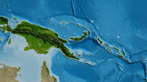
Stock image Shape of Papua New Guinea with its capital isolated on a solid color background. Bilevel elevation map. 3D rendering
Published:
Aug.27, 2020 08:23:44
Author:
Yarr65
Views:
0
Downloads:
0
File type:
image
/
jpg
File size:
1.26 MB
Orginal size:
3336
x
2256
px
Available sizes:
S
(500 x 338)
M
(1000 x 676)
L
(2000 x 1353)
XL
(3336 x 2256)
EL0
(3336 x 2256)
Level:
bronze
Download Image
Image topics:
View
Travel
Nature
Sea
Landscape
Earth
Planet
World
Ocean
Science
Capital
Globe
Profile
Country
Map
Cartography
Geography
Continent
Land
Zoom
Region
Oceania
Territory
Atlas
Overlay
Png
3d Rendering
Papua New Guinea
Port Moresby
Subregion
Bilevel
Administrative Division
Similar stock images
Shape Of Papua New Guinea With Its Capital Isolated On White Background. Bilevel Elevation Map. 3D Rendering
3336 × 2256
Shape Of Papua New Guinea Separated By The Desaturation Of Neighboring Areas. Borders. Bilevel Elevation Map. 3D Rendering
3000 × 2000
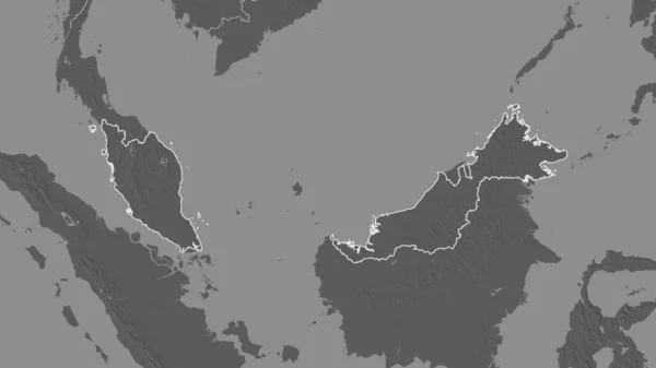
Outlined Shape Of The Papua New Guinea Area. Bilevel Elevation Map With Surface Waters. 3D Rendering
3840 × 2160
Shape Of Papua New Guinea Separated By The Desaturation Of Neighboring Areas. Bilevel Elevation Map. 3D Rendering
3000 × 2000
Shape Of Veraguas, Province Of Panama, With Its Capital Isolated On A Solid Color Background. Bilevel Elevation Map. 3D Rendering
3751 × 3836
Outlined Shape Of The Malaysia Area. Bilevel Elevation Map With Surface Waters. 3D Rendering
3840 × 2160
Papua New Guinea Area On The Topographic Relief Map In The Stereographic Projection - Raw Composition Of Raster Layers With Dark Glowing Outline
2880 × 1620
Close-up Of Asatellite Map Centered On Papua New Guinea
3840 × 2160