Home
Images
Vectors
Videos
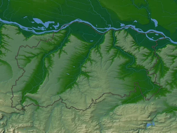
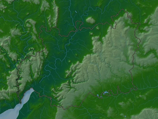
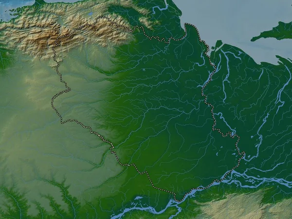
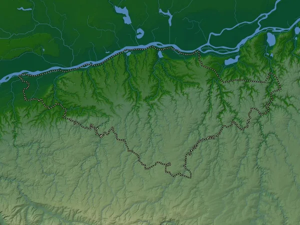
Stock image Silistra, province of Bulgaria. Colored elevation map with lakes and rivers
Published:
Sep.19, 2022 15:57:29
Author:
Yarr65
Views:
1
Downloads:
0
File type:
image
/
jpg
File size:
6.8 MB
Orginal size:
3840
x
2880
px
Available sizes:
S
(500 x 375)
M
(1000 x 750)
L
(2000 x 1500)
XL
(3840 x 2880)
EL0
(3840 x 2880)
Level:
bronze
Download Image
Image topics:
Shape
Nature
Border
Contour
Earth
Planet
World
Ocean
Science
Capital
Europe
Outline
Country
Map
Geography
Continent
Land
Zoom
Bulgaria
Sofia
Region
Territory
Atlas
Province
Legend
Stereographic
Silistra
Elhovo
Bgr
Administrative Division
Bolyarovo
Straldzha
Similar stock images
Ruse, Province Of Bulgaria. Colored Elevation Map With Lakes And Rivers
3840 × 2880
Anzoategui, State Of Venezuela. Colored Elevation Map With Lakes And Rivers
3840 × 2880
Vratsa, Province Of Bulgaria. Elevation Map Colored In Wiki Style With Lakes And Rivers
3840 × 2880
Silistra, Province Of Bulgaria. Elevation Map Colored In Wiki Style With Lakes And Rivers
3840 × 2880
Pleven, Province Of Bulgaria. Colored Elevation Map With Lakes And Rivers
3840 × 2880
Gloucestershire, Administrative County Of England - Great Britain. Colored Elevation Map With Lakes And Rivers
3840 × 2880
Monagas, State Of Venezuela. Colored Elevation Map With Lakes And Rivers
3840 × 2880
Komarom-Esztergom, County Of Hungary. Colored Elevation Map With Lakes And Rivers
3840 × 2880