Home
Images
Vectors
Videos
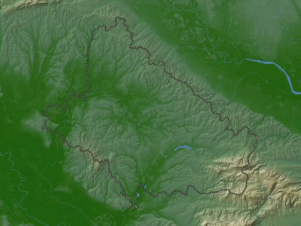
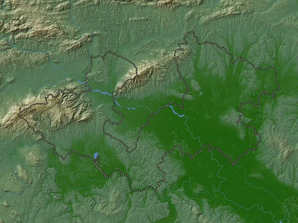
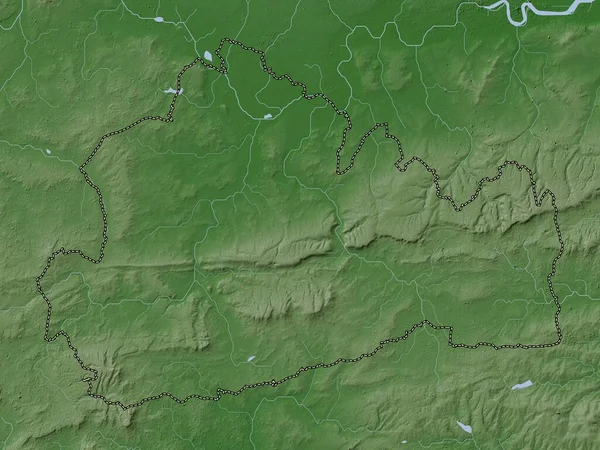
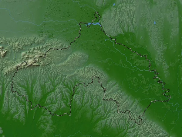
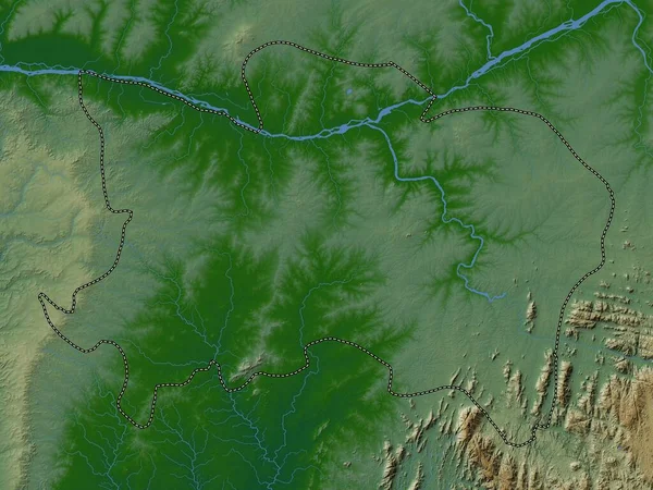
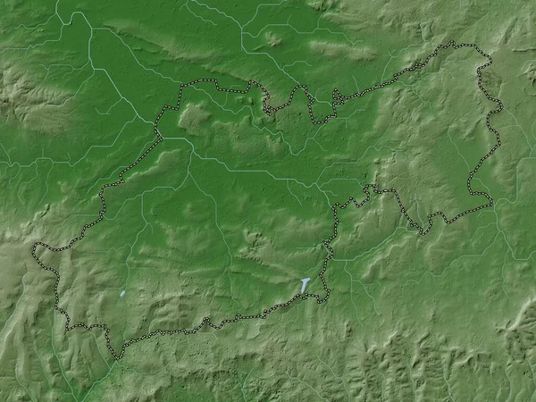
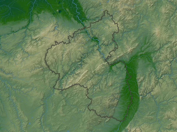
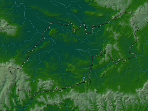
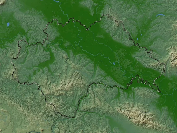
Stock image Sisacko-Moslavacka, county of Croatia. Colored elevation map with lakes and rivers
Published:
Sep.29, 2022 06:10:40
Author:
Yarr65
Views:
3
Downloads:
1
File type:
image
/
jpg
File size:
7.74 MB
Orginal size:
3840
x
2880
px
Available sizes:
S
(500 x 375)
M
(1000 x 750)
L
(2000 x 1500)
XL
(3840 x 2880)
EL0
(3840 x 2880)
Level:
bronze
Download Image
Image topics:
Shape
Nature
Border
Contour
Earth
Planet
World
Ocean
Science
Capital
Europe
Outline
Country
Map
Geography
Continent
Land
Zoom
Region
Croatia
Territory
Atlas
County
Legend
Zagreb
Stereographic
Samobor
Vrbovec
Sisak
Kriz
Jastrebarsko
Hrv
Zapresic
Velika Gorica
Sveti Ivan Zelina
Administrative Division
Gornji Stupnik
Ivanic Grad
Jakovlje
Similar stock images
Bjelovarska-Bilogorska, County Of Croatia. Colored Elevation Map With Lakes And Rivers
3840 × 2880
Zagrebacka, County Of Croatia. Colored Elevation Map With Lakes And Rivers
3840 × 2880
Surrey, Administrative County Of England - Great Britain. Elevation Map Colored In Wiki Style With Lakes And Rivers
3840 × 2880
Koprivnicko-Krizevacka, County Of Croatia. Colored Elevation Map With Lakes And Rivers
3840 × 2880
Benue, State Of Nigeria. Colored Elevation Map With Lakes And Rivers
3840 × 2880
South Somerset, Non Metropolitan District Of England - Great Britain. Elevation Map Colored In Wiki Style With Lakes And Rivers
3840 × 2880
Rheinland-Pfalz, State Of Germany. Colored Elevation Map With Lakes And Rivers
3840 × 2880
South Somerset, Non Metropolitan District Of England - Great Britain. Colored Elevation Map With Lakes And Rivers
3840 × 2880