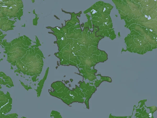
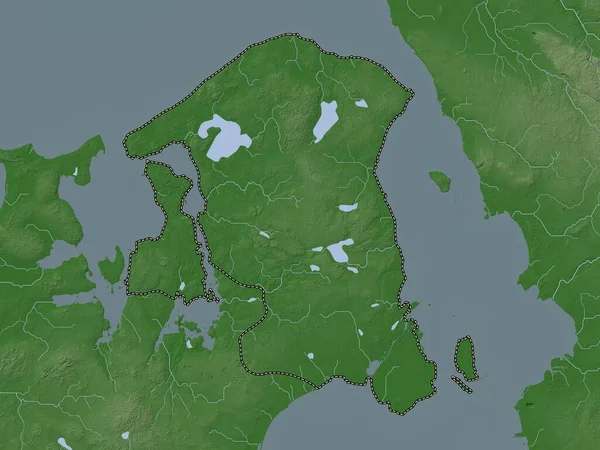
Stock image Sjlland, region of Denmark. Elevation map colored in wiki style with lakes and rivers
Published: Oct.04, 2022 11:11:50
Author: Yarr65
Views: 1
Downloads: 0
File type: image / jpg
File size: 5.03 MB
Orginal size: 3840 x 2880 px
Available sizes:
Level: bronze
Similar stock images


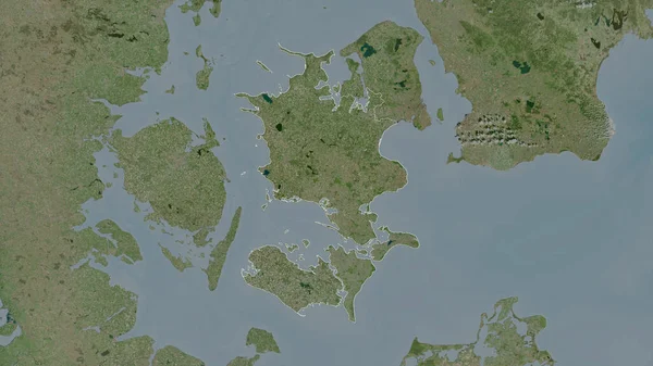
Denmark Area On The Satellite B Map In The Stereographic Projection - Raw Composition Of Raster Layers
2880 × 1620
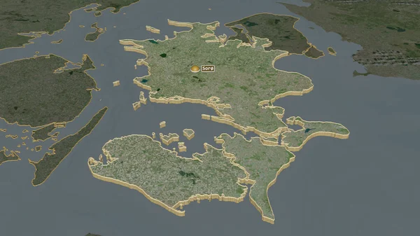
Sjclland, Region Of Denmark. Satellite Imagery. Shape Outlined Against Its Country Area. 3D Rendering
2880 × 1620
Hovedstaden, Region Of Denmark. Elevation Map Colored In Wiki Style With Lakes And Rivers
3840 × 2880