Home
Images
Vectors
Videos
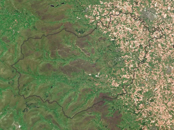
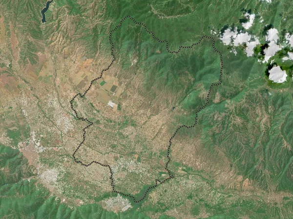
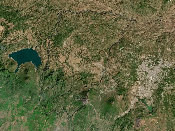
Stock image Solola, department of Guatemala. High resolution satellite map
Published:
Oct.04, 2022 11:15:11
Author:
Yarr65
Views:
2
Downloads:
1
File type:
image
/
jpg
File size:
8.44 MB
Orginal size:
3840
x
2880
px
Available sizes:
S
(500 x 375)
M
(1000 x 750)
L
(2000 x 1500)
XL
(3840 x 2880)
EL0
(3840 x 2880)
Level:
bronze
Download Image
Image topics:
Shape
Nature
Border
Contour
Earth
Planet
World
Ocean
Science
Capital
Outline
Country
Map
Geography
Continent
Land
Zoom
Department
Region
Territory
Atlas
Legend
Guatemala
Cabanas
Stereographic
North America
San Diego
Guatemala City
Gtm
Solola
La Union
Administrative Division
Rio Hondo
Estanzuela
Gualan
Usumatlan
Huite
Teculutan
Similar stock images
Chimaltenango, Department Of Guatemala. High Resolution Satellite Map
3840 × 2880
Tachira , State Of Venezuela. Satellite Imagery. Shape Outlined Against Its Country Area. 3D Rendering.
2880 × 1620
Guatemala, Department Of Guatemala. High Resolution Satellite Map
3840 × 2880
Richmondshire, Non Metropolitan District Of England - Great Britain. Low Resolution Satellite Map
3840 × 2880
Solola, Department Of Guatemala. Low Resolution Satellite Map
3840 × 2880
Attapu, Province Of Laos. High Resolution Satellite Map
3840 × 2880
Bosilovo, Municipality Of Macedonia. High Resolution Satellite Map
3840 × 2880
Samtskhe-Javakheti, Region Of Georgia. High Resolution Satellite Map
3840 × 2880