Home
Images
Vectors
Videos
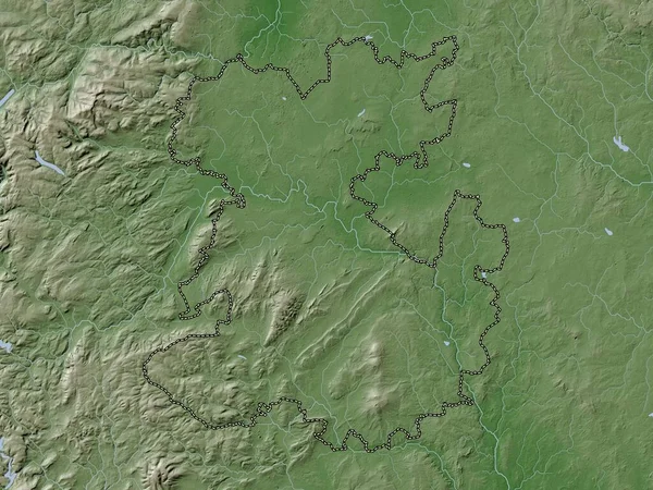
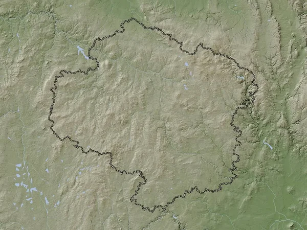
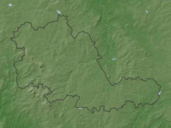
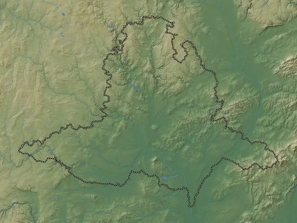
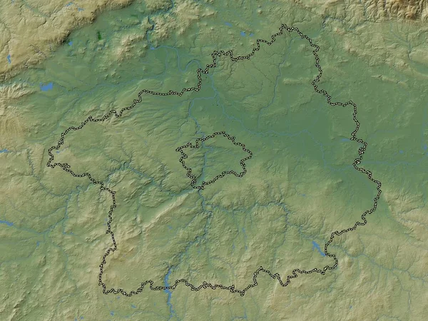
Stock image Stredocesky, region of Czech Republic. Colored elevation map with lakes and rivers
Published:
Sep.29, 2022 07:03:11
Author:
Yarr65
Views:
1
Downloads:
0
File type:
image
/
jpg
File size:
7.96 MB
Orginal size:
3840
x
2880
px
Available sizes:
S
(500 x 375)
M
(1000 x 750)
L
(2000 x 1500)
XL
(3840 x 2880)
EL0
(3840 x 2880)
Level:
bronze
Download Image
Image topics:
Shape
Nature
Border
Contour
Earth
Planet
World
Ocean
Science
Capital
Europe
Outline
Country
Map
Geography
Continent
Land
Zoom
Region
Territory
Atlas
Prague
Legend
Stereographic
Kromeriz
Zubri
CZE
Czech Republic
Luhacovice
Otrokovice
Chropyne
Stredocesky
Hulin
Uherske Hradiste
Roznov Pod Radhostem
Vsetin
Administrative Division
Valasske Mezirici
Holesov
Bojkovice
Bystrice Pod Hostynem
Uhersky Ostroh
Valasske Klobouky
Uhersky Brod
Slavicin
Similar stock images
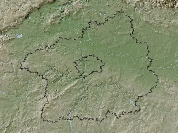
Stredocesky, Region Of Czech Republic. Elevation Map Colored In Wiki Style With Lakes And Rivers
3840 × 2880
Shropshire, Administrative County Of England - Great Britain. Elevation Map Colored In Wiki Style With Lakes And Rivers
3840 × 2880
Kraj Vysocina, Region Of Czech Republic. Elevation Map Colored In Wiki Style With Lakes And Rivers
3840 × 2880
Kraj Vysocina, Region Of Czech Republic. Colored Elevation Map With Lakes And Rivers
3840 × 2880
Saarland, State Of Germany. Elevation Map Colored In Wiki Style With Lakes And Rivers
3840 × 2880
West Midlands Combined Authority, Region Of England - Great Britain. Elevation Map Colored In Wiki Style With Lakes And Rivers
3840 × 2880
Namur, Province Of Belgium. Elevation Map Colored In Wiki Style With Lakes And Rivers
3840 × 2880
Jihomoravsky, Region Of Czech Republic. Colored Elevation Map With Lakes And Rivers
3840 × 2880