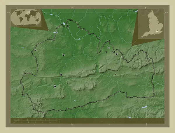
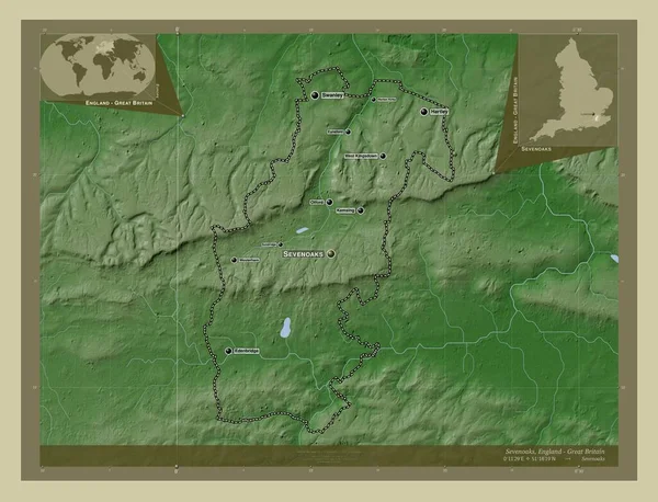
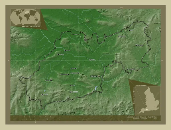
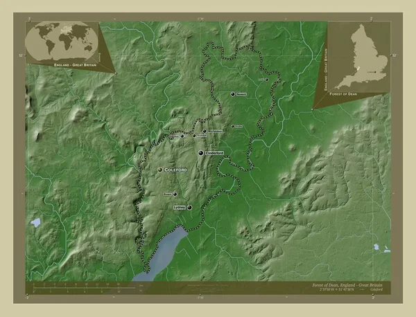
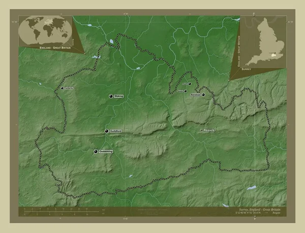
Stock image Surrey, administrative county of England - Great Britain. Elevation map colored in wiki style with lakes and rivers. Locations and names of major cities of the region. Corner auxiliary location maps
Published: Apr.21, 2023 12:59:06
Author: Yarr65
Views: 0
Downloads: 0
File type: image / jpg
File size: 8.12 MB
Orginal size: 4930 x 3770 px
Available sizes:
Level: bronze