Home
Images
Vectors
Videos
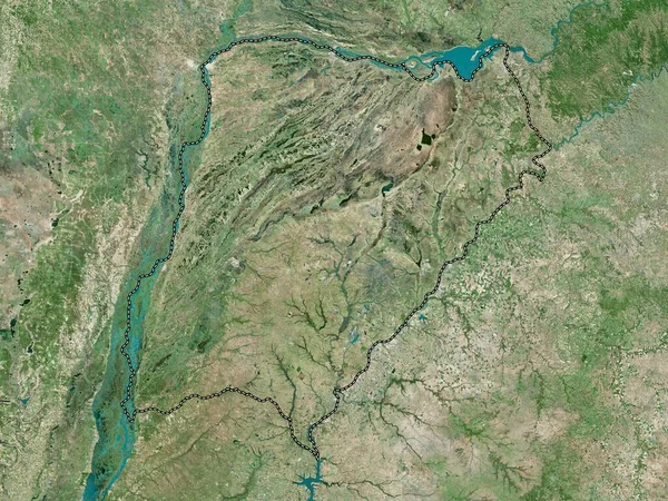
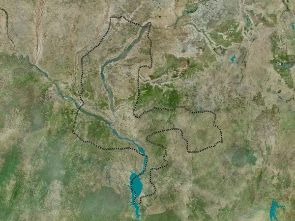
Stock image Tandjile, region of Chad. High resolution satellite map
Published:
Sep.28, 2022 11:17:25
Author:
Yarr65
Views:
2
Downloads:
0
File type:
image
/
jpg
File size:
9.59 MB
Orginal size:
3840
x
2880
px
Available sizes:
S
(500 x 375)
M
(1000 x 750)
L
(2000 x 1500)
XL
(3840 x 2880)
EL0
(3840 x 2880)
Level:
bronze
Download Image
Image topics:
Shape
Nature
Border
Contour
Earth
Planet
World
Ocean
Science
Capital
Outline
Country
Map
Geography
Africa
Continent
Land
Zoom
Region
Territory
Atlas
Legend
Lai
Chad
Stereographic
TCD
Administrative Division
Tandjile
Iriba
Similar stock images
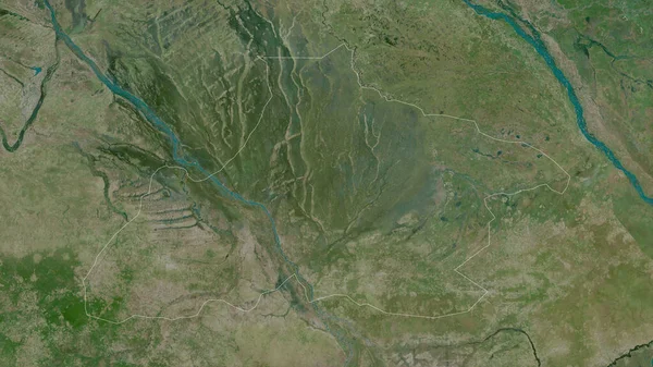
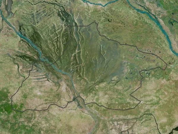
Tandjile, Region Of Chad. Satellite Imagery. Shape Outlined Against Its Country Area. 3D Rendering
2880 × 1620
Kampong Cham, Province Of Cambodia. High Resolution Satellite Map
3840 × 2880
Corrientes, Province Of Argentina. High Resolution Satellite Map
3840 × 2880
Steung Trng, Province Of Cambodia. Satellite Imagery. Shape Outlined Against Its Country Area. 3D Rendering
2880 × 1620
Tripura, State Of India. High Resolution Satellite Map
3840 × 2880
Ha Nam, Province Of Vietnam. Low Resolution Satellite Map
3840 × 2880
Niger, State Of Nigeria. High Resolution Satellite Map
3840 × 2880
Kebbi, State Of Nigeria. High Resolution Satellite Map
3840 × 2880