photo free
Home Images Vectors Videos

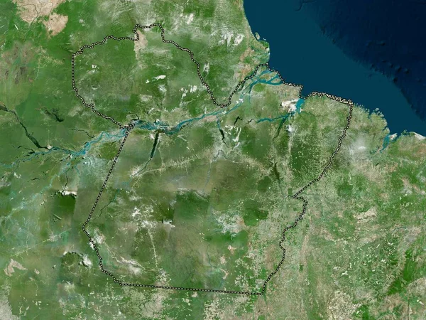
Stock image Tanganyika, province of Democratic Republic of the Congo. High resolution satellite map

Stock image Tanganyika, province of Democratic Republic of the Congo. High resolution satellite map
Published: Sep.28, 2022 13:02:11
Author: Yarr65
Views: 2
Downloads: 1
File type: image / jpg
File size: 9.45 MB
Orginal size: 3840 x 2880 px
Available sizes:
S
(500 x 375)
M
(1000 x 750)
L
(2000 x 1500)
XL
(3840 x 2880)
EL0
(3840 x 2880)
Level: bronze
Download Image
Image topics:

Similar stock images

stock image Santa Fe, province of Argentina. High resolution satellite map

Santa Fe, Province Of Argentina. High Resolution Satellite Map

3840 × 2880
stock image Tanganyika, province of Democratic Republic of the Congo. Low resolution satellite map

Tanganyika, Province Of Democratic Republic Of The Congo. Low Resolution Satellite Map

3840 × 2880
stock image Nord-Est, department of Haiti. Low resolution satellite map

Nord-Est, Department Of Haiti. Low Resolution Satellite Map

3840 × 2880
stock image Uganda outlined - High resolution satellite image

Uganda Outlined - High Resolution Satellite Image

2880 × 1620
stock image North Bank, division of Gambia. Low resolution satellite map

North Bank, Division Of Gambia. Low Resolution Satellite Map

3840 × 2880
stock image Rio Negro, province of Argentina. Low resolution satellite map

Rio Negro, Province Of Argentina. Low Resolution Satellite Map

3840 × 2880
stock image Pavlodar, region of Kazakhstan. High resolution satellite map

Pavlodar, Region Of Kazakhstan. High Resolution Satellite Map

3840 × 2880
stock image Para, state of Brazil. High resolution satellite map

Para, State Of Brazil. High Resolution Satellite Map

3840 × 2880