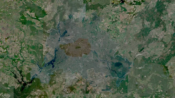
Stock image Tashkent City, city of Uzbekistan. Satellite imagery. Shape outlined against its country area. 3D rendering
Published: Sep.16, 2020 07:47:44
Author: Yarr65
Views: 47
Downloads: 1
File type: image / jpg
File size: 8.09 MB
Orginal size: 2880 x 1620 px
Available sizes:
Level: bronze
Similar stock images
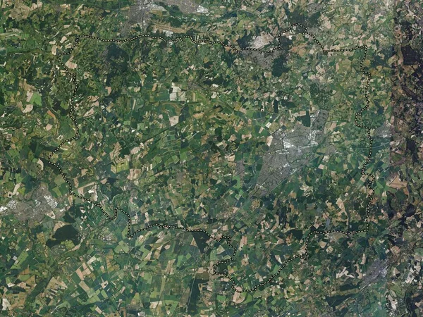
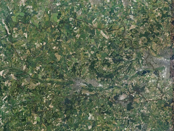
Basingstoke And Deane, Non Metropolitan District Of England - Great Britain. High Resolution Satellite Map
3840 × 2880
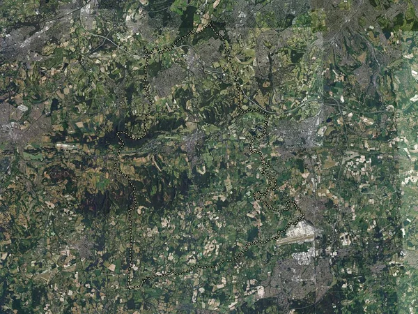
Mole Valley, Non Metropolitan District Of England - Great Britain. High Resolution Satellite Map
3840 × 2880
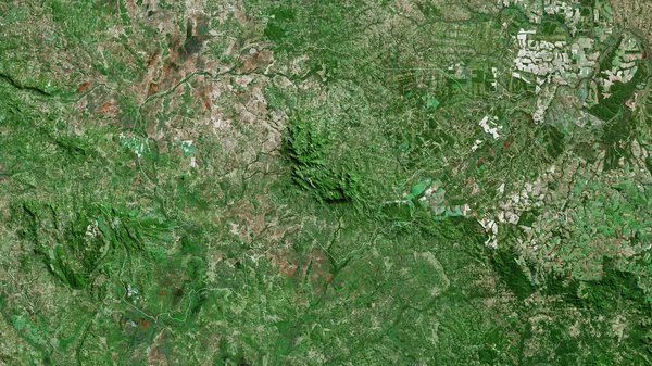
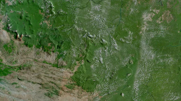
Guaira, Department Of Paraguay. Satellite Imagery. Shape Outlined Against Its Country Area. 3D Rendering
2880 × 1620
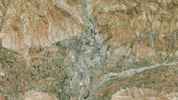
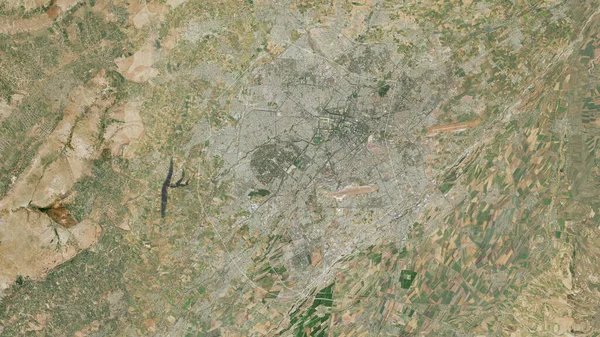
Dushanbe, Region Of Tajikistan. Satellite Imagery. Shape Outlined Against Its Country Area. 3D Rendering
2880 × 1620