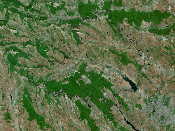
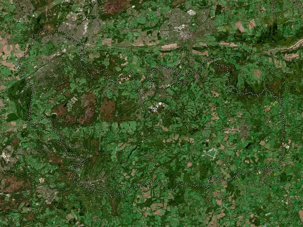
Stock image West Berkshire, county of England - Great Britain. High resolution satellite map
Published: Apr.21, 2023 13:18:20
Author: Yarr65
Views: 0
Downloads: 0
File type: image / jpg
File size: 10.1 MB
Orginal size: 3840 x 2880 px
Available sizes:
Level: bronze
Similar stock images
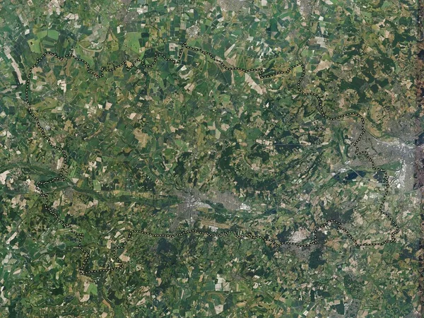
Mole Valley, Non Metropolitan District Of England - Great Britain. High Resolution Satellite Map
3840 × 2880

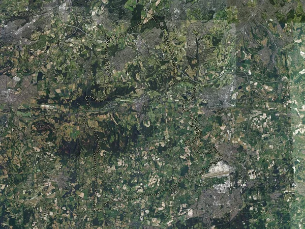
Waverley, Non Metropolitan District Of England - Great Britain. High Resolution Satellite Map
3840 × 2880
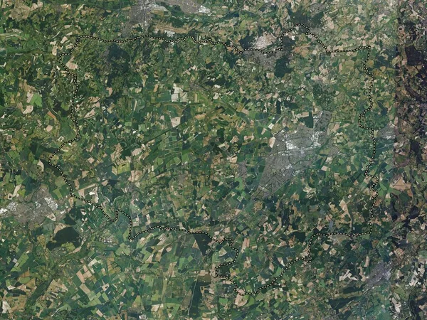
Basingstoke And Deane, Non Metropolitan District Of England - Great Britain. High Resolution Satellite Map
3840 × 2880

Floresti, District Of Moldova. Satellite Imagery. Shape Outlined Against Its Country Area. 3D Rendering
2880 × 1620
Waverley, Non Metropolitan District Of England - Great Britain. Low Resolution Satellite Map
3840 × 2880

Singerei, District Of Moldova. Satellite Imagery. Shape Outlined Against Its Country Area. 3D Rendering
2880 × 1620