Home
Images
Vectors
Videos
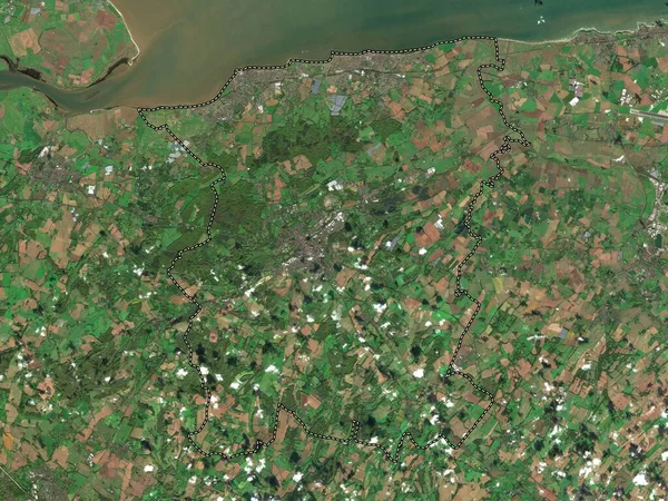
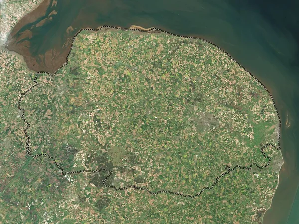
Stock image Tendring, non metropolitan district of England - Great Britain. Low resolution satellite map
Published:
Apr.21, 2023 13:13:11
Author:
Yarr65
Views:
0
Downloads:
0
File type:
image
/
jpg
File size:
7.57 MB
Orginal size:
3840
x
2880
px
Available sizes:
S
(500 x 375)
M
(1000 x 750)
L
(2000 x 1500)
XL
(3840 x 2880)
EL0
(3840 x 2880)
Level:
bronze
Download Image
Image topics:
Shape
Nature
Border
Contour
Earth
Planet
World
Ocean
Science
Capital
Europe
Outline
Country
Map
Geography
Continent
Land
Zoom
London
Region
Territory
Atlas
Legend
Stereographic
Dovercourt
Harwich
Brightlingsea
GBR
Alresford
Mistley
Walton On The Naze
Clacton On Sea
Tendring
Administrative Division
Frinton On Sea
Elmstead Market
Little Clacton
England Great Britain
Non Metropolitan District
Great Bentley
Similar stock images
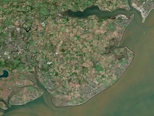
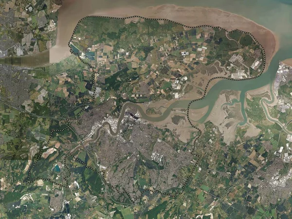
Rochford, Non Metropolitan District Of England - Great Britain. Low Resolution Satellite Map
3840 × 2880
Kent, Administrative County Of England - Great Britain. Low Resolution Satellite Map
3840 × 2880
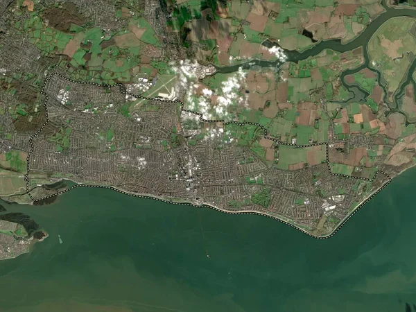
Southend-on-Sea, Unitary Authority Of England - Great Britain. Low Resolution Satellite Map
3840 × 2880
Norfolk, Administrative County Of England - Great Britain. Low Resolution Satellite Map
3840 × 2880
Medway, Unitary Authority Of England - Great Britain. High Resolution Satellite Map
3840 × 2880
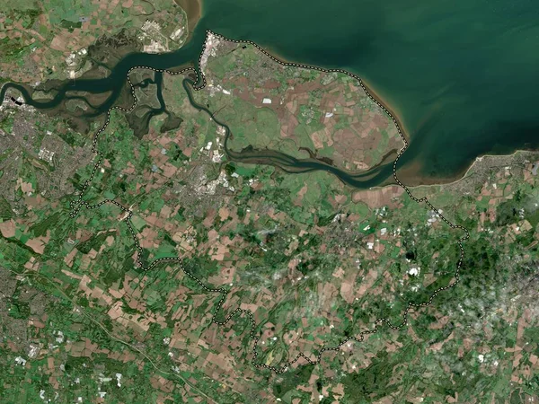
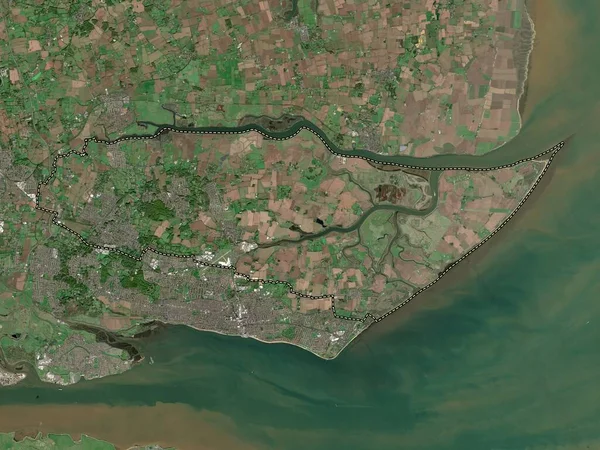
Swale, Non Metropolitan District Of England - Great Britain. Low Resolution Satellite Map
3840 × 2880
Canterbury, Non Metropolitan District Of England - Great Britain. Low Resolution Satellite Map
3840 × 2880
Thanet, Non Metropolitan District Of England - Great Britain. Low Resolution Satellite Map
3840 × 2880