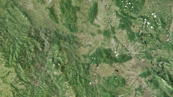
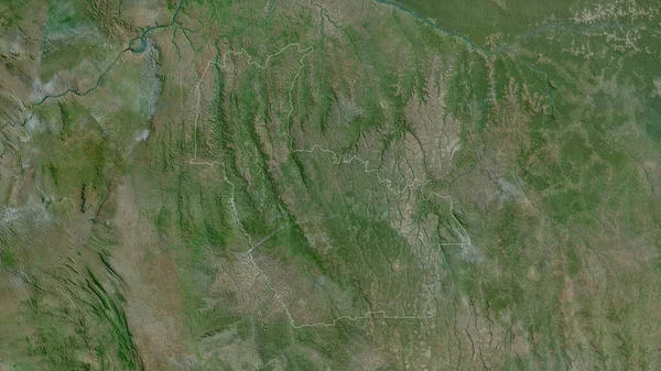
Stock image Totonicapan, department of Guatemala. Satellite imagery. Shape outlined against its country area. 3D rendering
Published: Jun.26, 2020 07:37:30
Author: Yarr65
Views: 2
Downloads: 1
File type: image / jpg
File size: 8.78 MB
Orginal size: 2880 x 1620 px
Available sizes:
Level: bronze
Similar stock images

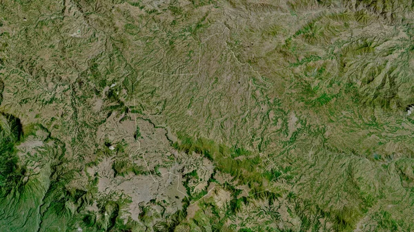
Lempira, Department Of Honduras. Satellite Imagery. Shape Outlined Against Its Country Area. 3D Rendering
2880 × 1620
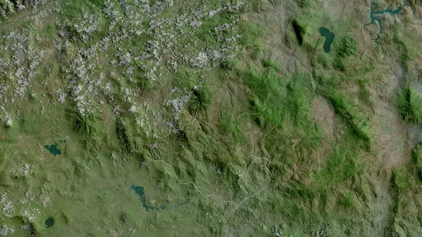
Prahova, County Of Romania. Satellite Imagery. Shape Outlined Against Its Country Area. 3D Rendering
2880 × 1620

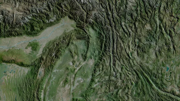
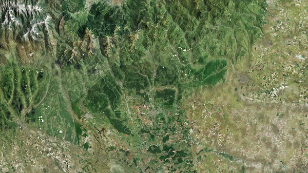
Kachin, State Of Myanmar. Satellite Imagery. Shape Outlined Against Its Country Area. 3D Rendering
2880 × 1620