Home
Images
Vectors
Videos
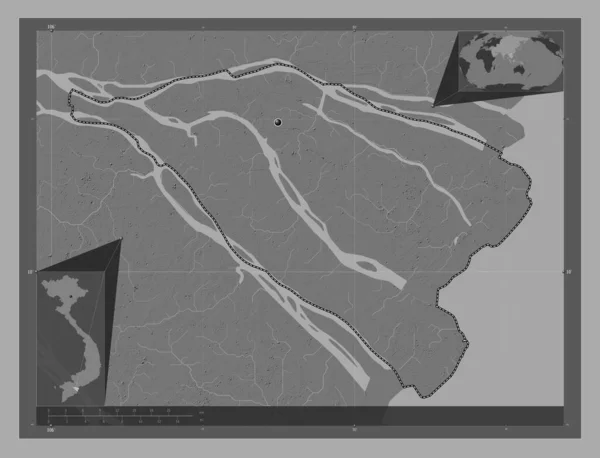
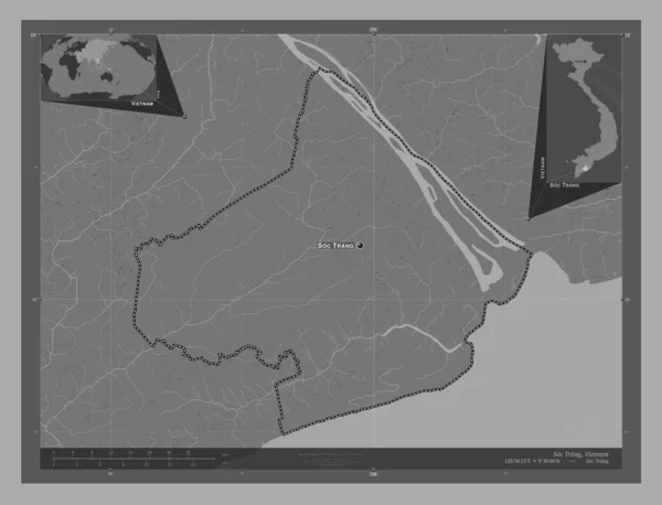
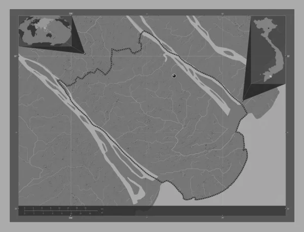
Stock image Tra Vinh, province of Vietnam. Bilevel elevation map with lakes and rivers. Corner auxiliary location maps
Published:
Apr.14, 2023 12:24:38
Author:
Yarr65
Views:
0
Downloads:
0
File type:
image
/
jpg
File size:
6.36 MB
Orginal size:
4930
x
3770
px
Available sizes:
S
(500 x 382)
M
(1000 x 765)
L
(2000 x 1529)
XL
(4930 x 3770)
EL0
(4930 x 3770)
Level:
bronze
Download Image
Image topics:
Shape
Nature
Border
Contour
Earth
Planet
World
Ocean
Science
Capital
Outline
Country
Map
Geography
Continent
Land
Zoom
Asia
Vietnam
Hanoi
Region
Territory
Atlas
Province
Legend
Stereographic
Tra Vinh
Vnm
Administrative Division
Similar stock images
Tra Vinh, Province Of Vietnam. Bilevel Elevation Map With Lakes And Rivers. Locations Of Major Cities Of The Region. Corner Auxiliary Location Maps
4930 × 3770
Soc Trang, Province Of Vietnam. Bilevel Elevation Map With Lakes And Rivers. Locations Of Major Cities Of The Region. Corner Auxiliary Location Maps
4930 × 3770
Ben Tre, Province Of Vietnam. Bilevel Elevation Map With Lakes And Rivers. Locations Of Major Cities Of The Region. Corner Auxiliary Location Maps
4930 × 3770
Ben Tre, Province Of Vietnam. Bilevel Elevation Map With Lakes And Rivers. Corner Auxiliary Location Maps
4930 × 3770
Tra Vinh, Province Of Vietnam. Bilevel Elevation Map With Lakes And Rivers. Locations And Names Of Major Cities Of The Region. Corner Auxiliary Location Maps
4930 × 3770
Vinh Long, Province Of Vietnam. Bilevel Elevation Map With Lakes And Rivers. Locations Of Major Cities Of The Region. Corner Auxiliary Location Maps
4930 × 3770
Soc Trang, Province Of Vietnam. Bilevel Elevation Map With Lakes And Rivers. Locations And Names Of Major Cities Of The Region. Corner Auxiliary Location Maps
4930 × 3770
Tra Vinh, Province Of Vietnam. Grayscale Elevation Map With Lakes And Rivers. Locations Of Major Cities Of The Region. Corner Auxiliary Location Maps
4930 × 3770