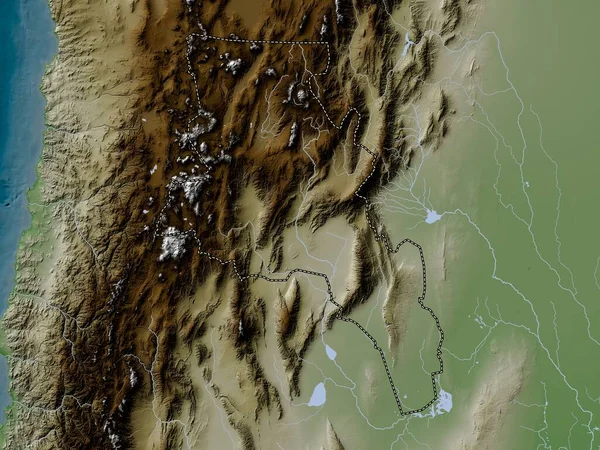
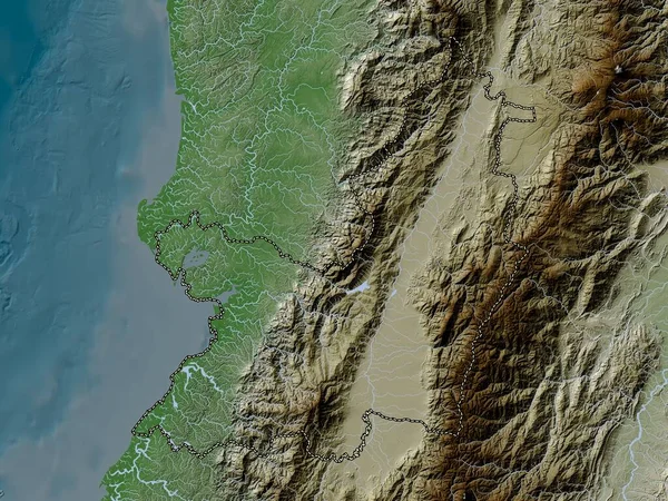
Stock image Trujillo, state of Venezuela. Elevation map colored in wiki style with lakes and rivers
Published: Apr.21, 2023 13:13:06
Author: Yarr65
Views: 1
Downloads: 0
File type: image / jpg
File size: 8.31 MB
Orginal size: 3840 x 2880 px
Available sizes:
Level: bronze
Similar stock images

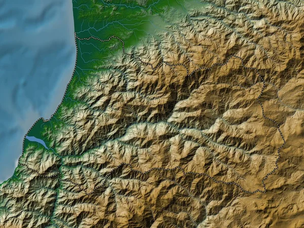
Marrakech-Safi, Region Of Morocco. Elevation Map Colored In Wiki Style With Lakes And Rivers
3840 × 2880
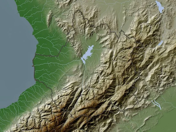
Valle Del Cauca, Department Of Colombia. Elevation Map Colored In Wiki Style With Lakes And Rivers
3840 × 2880

Trujillo, State Of Venezuela. Elevation Map Colored In Sepia Tones With Lakes And Rivers
3840 × 2880
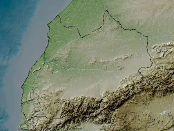
Region Metropolitana De Santiago, Region Of Chile. Elevation Map Colored In Wiki Style With Lakes And Rivers
3840 × 2880
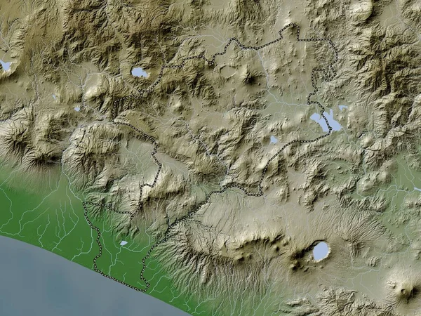
Jutiapa, Department Of Guatemala. Elevation Map Colored In Wiki Style With Lakes And Rivers
3840 × 2880