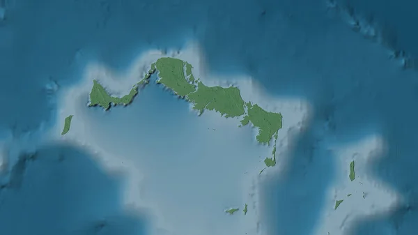
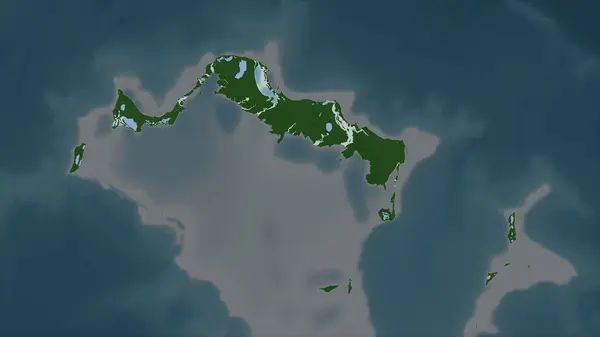
Stock image Turks and Caicos Islands outlined on a Colored elevation map with lakes and rivers

Published: Dec.28, 2023 13:55:36
Author: zelwanka
Views: 1
Downloads: 0
File type: image / jpg
File size: 1.58 MB
Orginal size: 2688 x 1512 px
Available sizes:
Level: beginner
Similar stock images
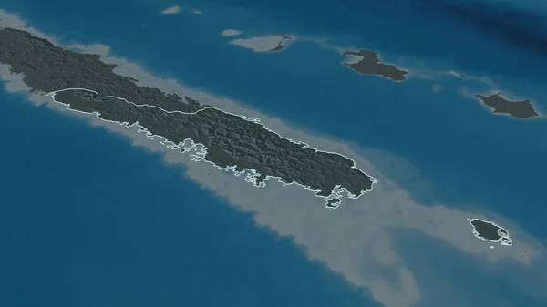
Turks And Caicos Islands Highlighted On A Pale Colored Elevation Map With Lakes And Rivers
2688 × 1512