Home
Images
Vectors
Videos
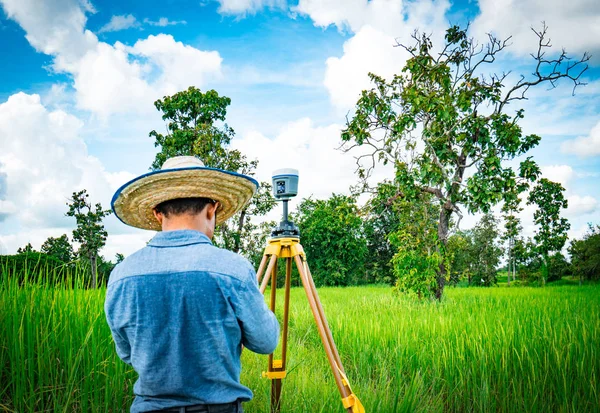
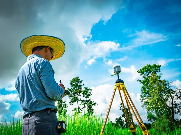
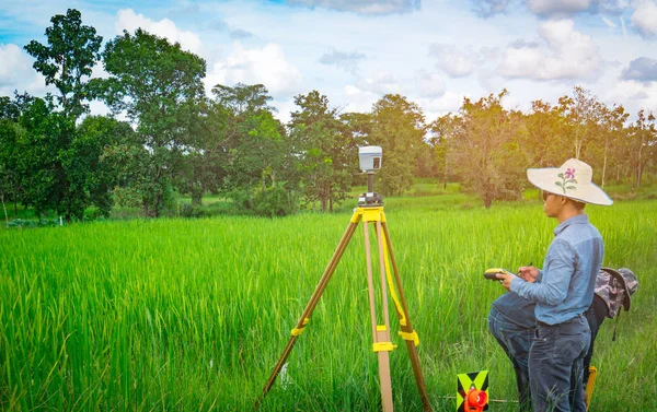
Stock image UBONRATCHATHANI, THAILAND-SEPTEMBER 26, 2017 : Asian smart engineer or surveyor is working on controller screen for surveying land in rice field. GPS surveying instrument.
Published:
Oct.09, 2017 08:01:33
Author:
Fahroni
Views:
18
Downloads:
0
File type:
image
/
jpg
File size:
16.01 MB
Orginal size:
6000
x
3775
px
Available sizes:
S
(500 x 315)
M
(1000 x 629)
L
(2000 x 1258)
XL
(6000 x 3775)
EL0
(6000 x 3775)
Level:
bronze
Download Image
Image topics:
Green
Equipment
Outdoors
Field
Nature
Morning
Male
Technology
Instrument
Accuracy
Hat
Working
Global
Data
Measuring
Measurement
Points
Asian
Navigation
Manual
System
Woven
Engineering
Map
Cartography
Latitude
Longitude
Land
Robot
Level
Worker
Thailand
Engineer
Topography
Tripod
Satellite
Rice
Survey
Gps
Positioning
Controller
Traverse
Surveyor
Azimuth
Marks
Cartographer
Surveying
Geodesy
GIS
Gnss
Similar stock images
UBONRATCHATHANI, THAILAND-SEPTEMBER 26, 2017 : Asian Smart Engineer Or Surveyor Is Working On Controller Screen For Surveying Land In Rice Field. GPS Surveying Instrument.
6000 × 4000
Asian Smart Engineer Or Surveyor In Black Jeans And Long Sleeve Shirt And Woven Bamboo Hat. He Is Working On Controller Screen For Surveying Land In Rice Field, Thailand. GPS Surveying Instrument.
5805 × 4000
Asian Smart Engineer Or Surveyor In Black Jeans And Long Sleeve Shirt And Woven Bamboo Hat. He Is Working On Controller Screen For Surveying Land In Rice Field, Thailand. GPS Surveying Instrument.
5348 × 4000
Asian Smart Engineer Or Surveyor In Black Jeans And Long Sleeve Shirt And Woven Bamboo Hat. He Is Working On Controller Screen For Surveying Land In Rice Field, Thailand. GPS Surveying Instrument.
6000 × 4000
Man Using Of Total Station
5184 × 3456
Female Geodesist Performing Geodetic Survey
2592 × 3888
Altometer For Land Surveyor. Electronic Theodolite Equipment For Geodetic Survey
6000 × 4000
Man Used Digital Level To Adjust Soil Position For Planting - Land Preparation And Contour Line.
4867 × 3245