photo free
Home Images Vectors Videos

Stock image Ulak Island in the Bering Sea, belonging to United States, isolated on a bilevel elevation map, with distance scale

Stock image Ulak Island in the Bering Sea, belonging to United States, isolated on a bilevel elevation map, with distance scale
Published: Sep.11, 2024 14:07:53
Author: zelwanka
Views: 0
Downloads: 0
File type: image / jpg
File size: 0.28 MB
Orginal size: 2160 x 2160 px
Available sizes:
S
(500 x 500)
M
(1000 x 1000)
L
(2000 x 2000)
XL
(2160 x 2160)
EL0
(2160 x 2160)
Level: beginner
Download Image
Image topics:

Similar stock images

stock image Area of Gelderland, province of Netherlands, isolated on a solid background in a georeferenced bounding box. Labels. Bilevel elevation map. 3D rendering

Area Of Gelderland, Province Of Netherlands, Isolated On A Solid Background In A Georeferenced Bounding Box. Labels. Bilevel Elevation Map. 3D Rendering

2880 × 1620
stock image Area of Novgorod, region of Russia, isolated on a solid background in a georeferenced bounding box. Labels. Bilevel elevation map. 3D rendering

Area Of Novgorod, Region Of Russia, Isolated On A Solid Background In A Georeferenced Bounding Box. Labels. Bilevel Elevation Map. 3D Rendering

2880 × 1620
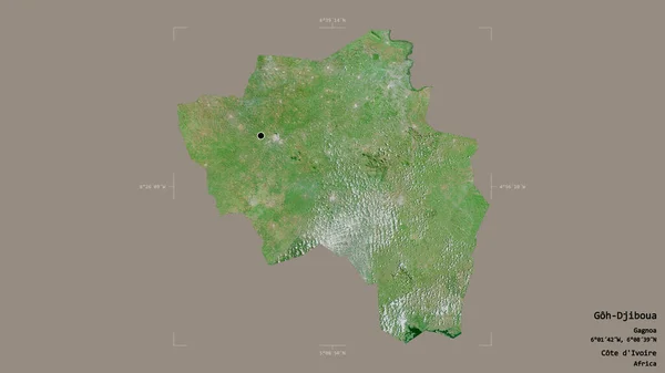
stock image Area of Goh-Djiboua, district of Cote d'Ivoire, isolated on a solid background in a georeferenced bounding box. Labels. Satellite imagery. 3D rendering

Area Of Goh-Djiboua, District Of Cote D'Ivoire, Isolated On A Solid Background In A Georeferenced Bounding Box. Labels. Satellite Imagery. 3D Rendering

2880 × 1620
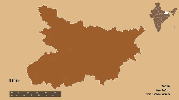
stock image Shape of Bihar, state of India, with its capital isolated on solid background. Distance scale, region preview and labels. Composition of patterned textures. 3D rendering

Shape Of Bihar, State Of India, With Its Capital Isolated On Solid Background. Distance Scale, Region Preview And Labels. Composition Of Patterned Textures. 3D Rendering

2880 × 1620
stock image Desaturated shape of India with its capital, main regional division and the separated National Capital Territory of Delhi area. Labels. Composition of patterned textures. 3D rendering

Desaturated Shape Of India With Its Capital, Main Regional Division And The Separated National Capital Territory Of Delhi Area. Labels. Composition Of Patterned Textures. 3D Rendering

2880 × 1620
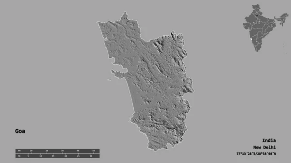
stock image Shape of Goa, state of India, with its capital isolated on solid background. Distance scale, region preview and labels. Bilevel elevation map. 3D rendering

Shape Of Goa, State Of India, With Its Capital Isolated On Solid Background. Distance Scale, Region Preview And Labels. Bilevel Elevation Map. 3D Rendering

2880 × 1620
stock image Shape of a topographic, OSM France style map of the India, with distance scale and map border coordinates, isolated on black

Shape Of A Topographic, OSM France Style Map Of The India, With Distance Scale And Map Border Coordinates, Isolated On Black

2043 × 2201
stock image Shape of a Bilevel elevation map with lakes and rivers of the Burkina Faso, with distance scale and map border coordinates, isolated on white

Shape Of A Bilevel Elevation Map With Lakes And Rivers Of The Burkina Faso, With Distance Scale And Map Border Coordinates, Isolated On White

2441 × 1843