Home
Images
Vectors
Videos
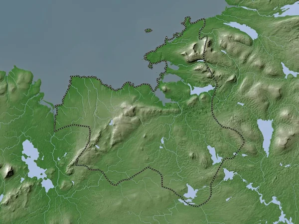
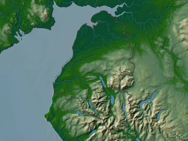
Stock image Vidzeme, province of Latvia. Elevation map colored in wiki style with lakes and rivers
Published:
Oct.27, 2022 06:54:08
Author:
Yarr65
Views:
2
Downloads:
0
File type:
image
/
jpg
File size:
7.33 MB
Orginal size:
3840
x
2880
px
Available sizes:
S
(500 x 375)
M
(1000 x 750)
L
(2000 x 1500)
XL
(3840 x 2880)
EL0
(3840 x 2880)
Level:
bronze
Download Image
Image topics:
Shape
Nature
Border
Contour
Earth
Planet
World
Ocean
Science
Capital
Europe
Outline
Country
Map
Geography
Continent
Land
Zoom
Region
Territory
Latvia
Atlas
Province
Legend
Riga
Bauska
Ogre
Vidzeme
Stereographic
Aizkraukle
Valmiera
Koknese
Tervete
Lielvarde
LVA
Auce
Jekabpils
Dobele
Plavinas
Administrative Division
Skriveri
Viesite
Jumprava
Similar stock images
Zemgale, Province Of Latvia. Elevation Map Colored In Wiki Style With Lakes And Rivers
3840 × 2880
Londonderry, Region Of Northern Ireland. Elevation Map Colored In Wiki Style With Lakes And Rivers
3840 × 2880
Vidzeme, Province Of Latvia. Colored Elevation Map With Lakes And Rivers
3840 × 2880
Allerdale, Non Metropolitan District Of England - Great Britain. Colored Elevation Map With Lakes And Rivers
3840 × 2880
Fermanagh, Region Of Northern Ireland. Elevation Map Colored In Wiki Style With Lakes And Rivers
3840 × 2880
Sligo, County Of Ireland. Elevation Map Colored In Wiki Style With Lakes And Rivers
3840 × 2880
Northern Ostrobothnia, Region Of Finland. Elevation Map Colored In Wiki Style With Lakes And Rivers
3840 × 2880
Gelderland, Province Of Netherlands. Elevation Map Colored In Wiki Style With Lakes And Rivers
3840 × 2880