Home
Images
Vectors
Videos
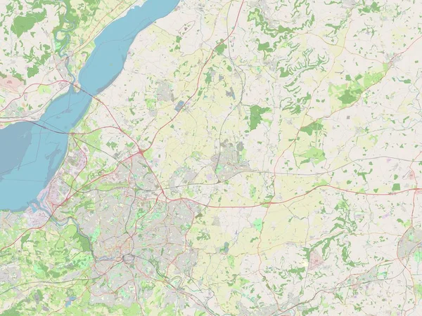
Stock image Wirral, metropolitan district of England - Great Britain. Open Street Map
Published:
Apr.21, 2023 13:24:02
Author:
Yarr65
Views:
0
Downloads:
0
File type:
image
/
jpg
File size:
7.01 MB
Orginal size:
3840
x
2880
px
Available sizes:
S
(500 x 375)
M
(1000 x 750)
L
(2000 x 1500)
XL
(3840 x 2880)
EL0
(3840 x 2880)
Level:
bronze
Download Image
Image topics:
Shape
Nature
Border
Contour
Earth
Planet
World
Ocean
Science
Capital
Europe
Outline
Country
Map
Geography
Continent
Land
Zoom
London
Region
Territory
Atlas
Legend
Moreton
Stereographic
GBR
Wirral
Birkenhead
Wallasey
Hoylake
Administrative Division
Metropolitan District
West Kirby
Heswall
New Ferry
Greasby
Prenton
England Great Britain
Similar stock images
City Of Bristol, Unitary Authority Of England - Great Britain. Open Street Map
3840 × 2880
Liverpool, Administrative County Of England - Great Britain. Open Street Map
3840 × 2880
Canterbury, Non Metropolitan District Of England - Great Britain. Open Street Map
3840 × 2880
Rochford, Non Metropolitan District Of England - Great Britain. Open Street Map
3840 × 2880
Flevoland, Province Of Netherlands. Open Street Map
3840 × 2880
South Gloucestershire, Unitary Authority Of England - Great Britain. Open Street Map
3840 × 2880
North East Lincolnshire, Unitary Authority Of England - Great Britain. Open Street Map
3840 × 2880