Home
Images
Vectors
Videos
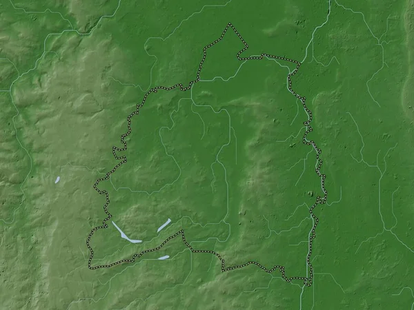
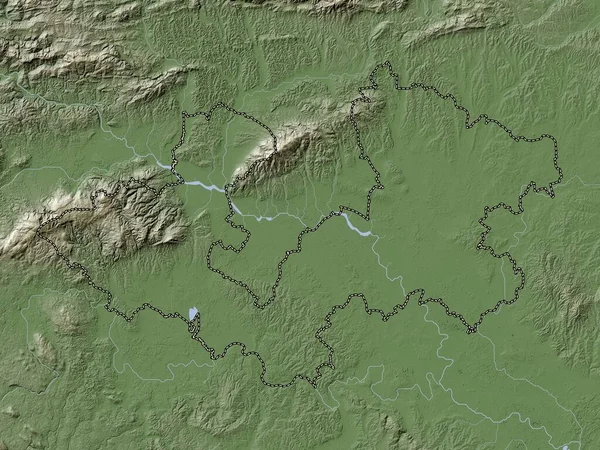
Stock image Worcestershire, administrative county of England - Great Britain. Elevation map colored in wiki style with lakes and rivers
Published:
Apr.21, 2023 13:24:44
Author:
Yarr65
Views:
0
Downloads:
0
File type:
image
/
jpg
File size:
7.24 MB
Orginal size:
3840
x
2880
px
Available sizes:
S
(500 x 375)
M
(1000 x 750)
L
(2000 x 1500)
XL
(3840 x 2880)
EL0
(3840 x 2880)
Level:
bronze
Download Image
Image topics:
Shape
Nature
Border
Contour
Earth
Planet
World
Ocean
Science
Capital
Europe
Outline
Country
Map
Geography
Continent
Land
Zoom
London
Region
Territory
Atlas
Legend
Worcestershire
Stereographic
Malvern
Redditch
Worcester
GBR
Bewdley
Pershore
Alvechurch
Evesham
Tardebigge
Bromsgrove
Kidderminster
Kington
Administrative Division
Tenbury Wells
Badsey
Administrative County
Stourport On Severn
England Great Britain
Astwood Bank
Fernhill Heath
Similar stock images
Stratford-on-Avon, Non Metropolitan District Of England - Great Britain. Elevation Map Colored In Wiki Style With Lakes And Rivers
3840 × 2880
South Oxfordshire, Non Metropolitan District Of England - Great Britain. Elevation Map Colored In Wiki Style With Lakes And Rivers
3840 × 2880
Malvern Hills, Non Metropolitan District Of England - Great Britain. Elevation Map Colored In Wiki Style With Lakes And Rivers
3840 × 2880
Hertfordshire, Administrative County Of England - Great Britain. Elevation Map Colored In Wiki Style With Lakes And Rivers
3840 × 2880
Surrey, Administrative County Of England - Great Britain. Elevation Map Colored In Wiki Style With Lakes And Rivers
3840 × 2880
Zagrebacka, County Of Croatia. Elevation Map Colored In Wiki Style With Lakes And Rivers
3840 × 2880
Jihomoravsky, Region Of Czech Republic. Elevation Map Colored In Wiki Style With Lakes And Rivers
3840 × 2880
Bassetlaw, Non Metropolitan District Of England - Great Britain. Elevation Map Colored In Wiki Style With Lakes And Rivers
3840 × 2880