Home
Images
Vectors
Videos
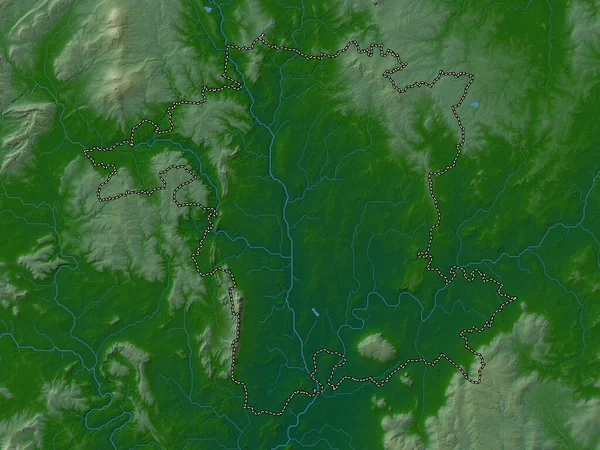
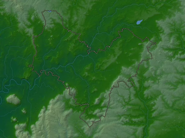
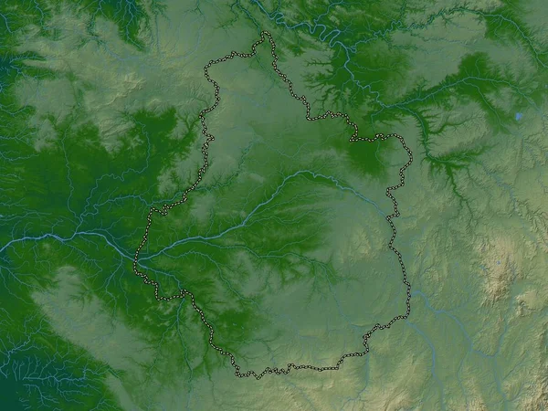
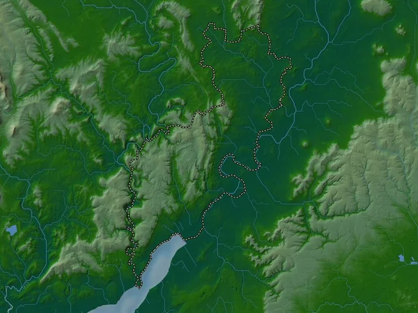
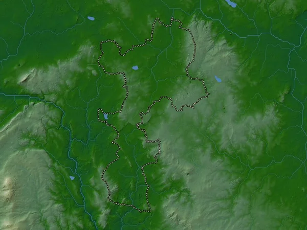
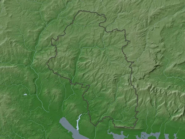
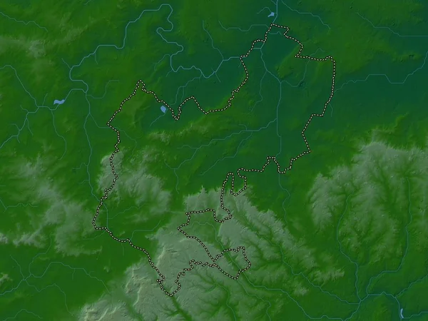
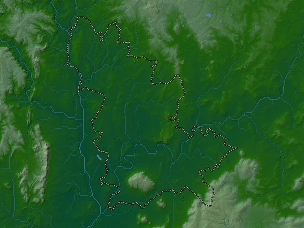
Stock image Wychavon, non metropolitan district of England - Great Britain. Colored elevation map with lakes and rivers
Published:
Apr.21, 2023 13:25:09
Author:
Yarr65
Views:
0
Downloads:
0
File type:
image
/
jpg
File size:
5.8 MB
Orginal size:
3840
x
2880
px
Available sizes:
S
(500 x 375)
M
(1000 x 750)
L
(2000 x 1500)
XL
(3840 x 2880)
EL0
(3840 x 2880)
Level:
bronze
Download Image
Image topics:
Shape
Nature
Border
Contour
Earth
Planet
World
Ocean
Science
Capital
Europe
Outline
Country
Map
Geography
Continent
Land
Zoom
London
Region
Broadway
Territory
Atlas
Legend
Stereographic
GBR
Pershore
Evesham
Harvington
Eckington
Kington
Inkberrow
Wychavon
Administrative Division
Hartlebury
South Littleton
Bredon
England Great Britain
Non Metropolitan District
Fernhill Heath
Wychbold
Similar stock images
Worcestershire, Administrative County Of England - Great Britain. Colored Elevation Map With Lakes And Rivers
3840 × 2880
Stratford-on-Avon, Non Metropolitan District Of England - Great Britain. Colored Elevation Map With Lakes And Rivers
3840 × 2880
Staffordshire, Administrative County Of England - Great Britain. Colored Elevation Map With Lakes And Rivers
3840 × 2880
Centre-Val De Loire, Region Of France. Colored Elevation Map With Lakes And Rivers
3840 × 2880
Forest Of Dean, Non Metropolitan District Of England - Great Britain. Colored Elevation Map With Lakes And Rivers
3840 × 2880
South Staffordshire, Non Metropolitan District Of England - Great Britain. Colored Elevation Map With Lakes And Rivers
3840 × 2880
Winchester, Non Metropolitan District Of England - Great Britain. Elevation Map Colored In Wiki Style With Lakes And Rivers
3840 × 2880
Central Bedfordshire, Administrative County Of England - Great Britain. Colored Elevation Map With Lakes And Rivers
3840 × 2880