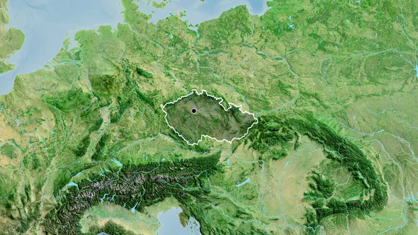
Stock image Yamal-Nenets - autonomous province of Russia zoomed and highlighted with capital. Satellite imagery. 3D rendering

Published: Aug.06, 2020 14:28:59
Author: Yarr65
Views: 4
Downloads: 0
File type: image / jpg
File size: 4.87 MB
Orginal size: 2880 x 1620 px
Available sizes:
Level: bronze
Similar stock images
Yamal-Nenets - Autonomous Province Of Russia Zoomed And Highlighted. Satellite Imagery. 3D Rendering
2880 × 1620

Zoom In On Krasnoyarsk (territory Of Russia) Extruded. Oblique Perspective. Satellite Imagery. 3D Rendering
3840 × 2160