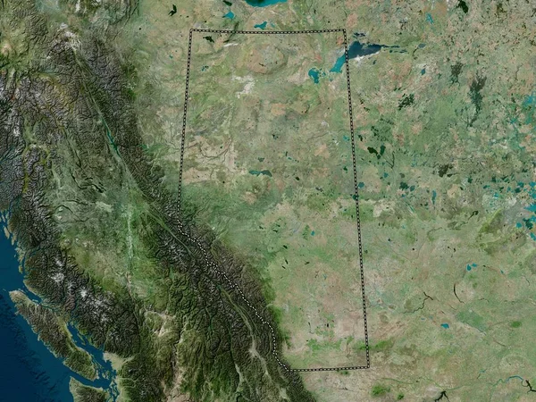
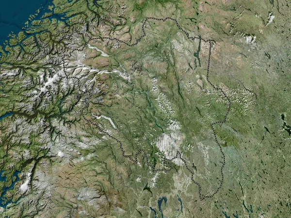
Stock image Yukon, territory of Canada. High resolution satellite map

Published: Oct.04, 2022 10:15:54
Author: Yarr65
Views: 1
Downloads: 0
File type: image / jpg
File size: 10.44 MB
Orginal size: 3840 x 2880 px
Available sizes:
Level: bronze
Similar stock images

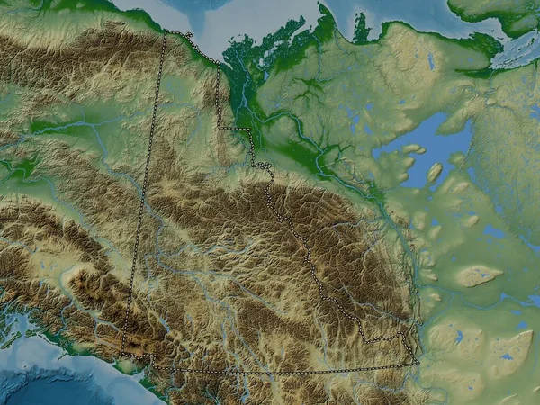
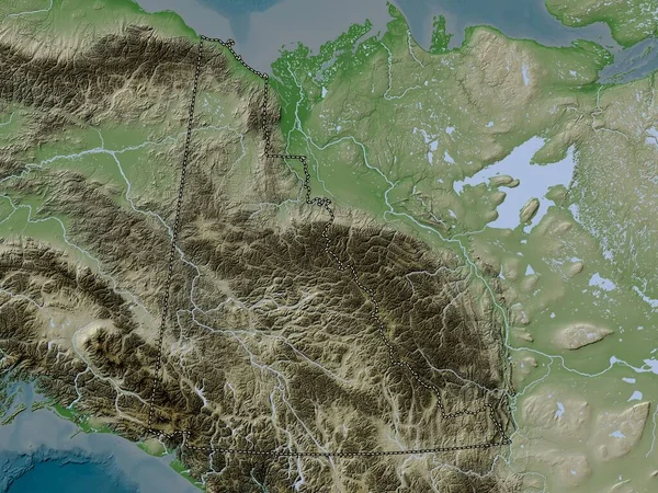

Northwest Territories, Territory Of Canada. Elevation Map Colored In Wiki Style With Lakes And Rivers
3840 × 2880