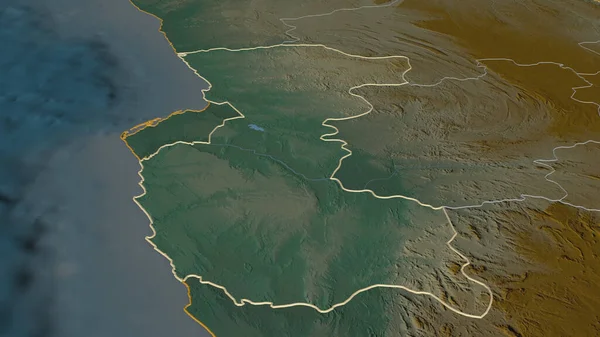
Stock image Zoom in on Tartus (province of Syria) outlined. Oblique perspective. Topographic relief map with surface waters. 3D rendering

Published: Sep.01, 2020 06:55:26
Author: Yarr65
Views: 0
Downloads: 0
File type: image / jpg
File size: 1.87 MB
Orginal size: 3840 x 2160 px
Available sizes:
Level: bronze