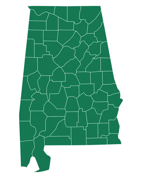
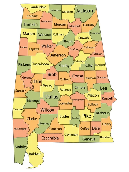
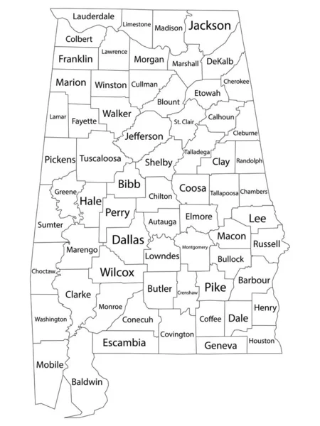
Stock vector Alabama, U.S. state, gray political map with borders and county names. State in the Southeastern region of United States, subdivided into 67 counties. Nicknamed Yellowhammer State, and Heart of Dixie.

Published: Aug.19, 2024 17:08:58
Author: Furian
Views: 0
Downloads: 0
File type: vector / eps
File size: 2.07 MB
Orginal size: 6000 x 9000 px
Available sizes:
Level: silver