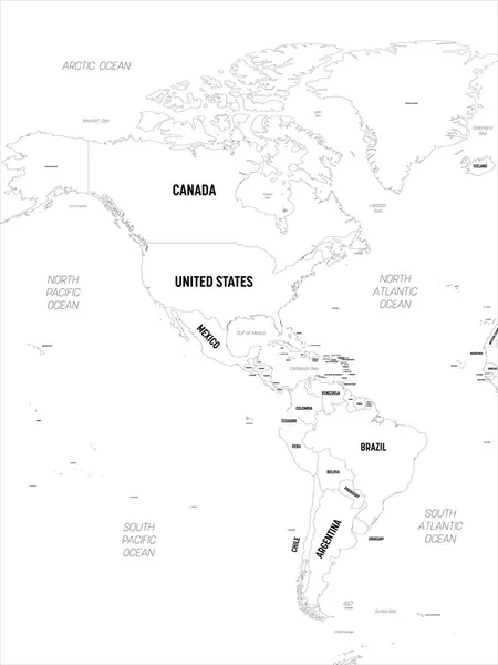
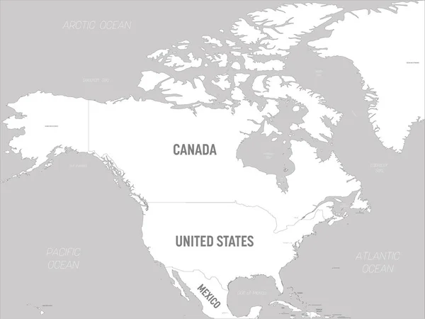
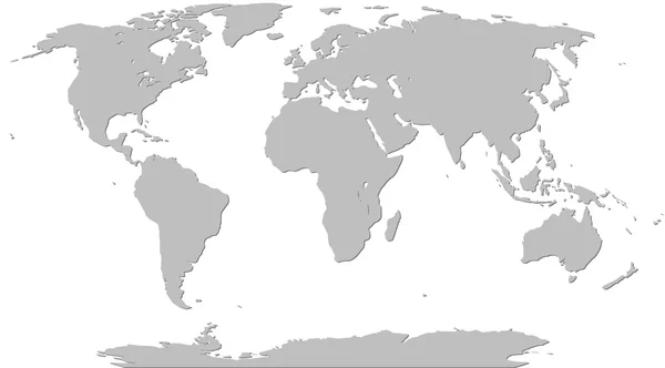
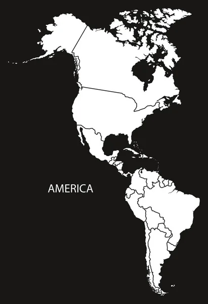
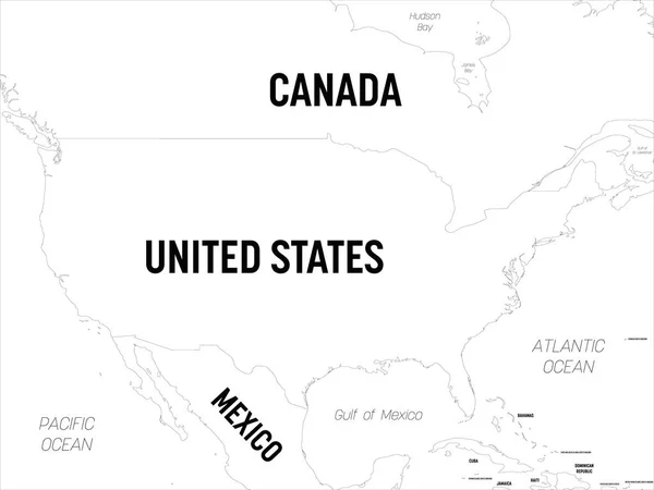
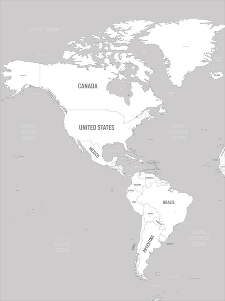
Stock vector Americas map - white lands and grey water. High detailed political map of North and South America continent with country, capital, ocean and sea names labeling
Published: Feb.03, 2020 10:32:43
Author: pyty
Views: 6
Downloads: 0
File type: vector / eps
File size: 5.57 MB
Orginal size: 4500 x 6000 px
Available sizes:
Level: silver