Home
Images
Vectors
Videos
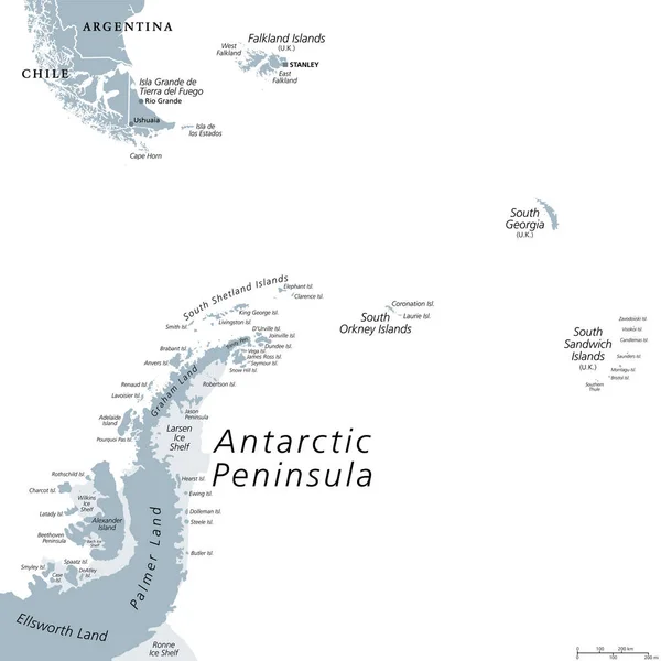
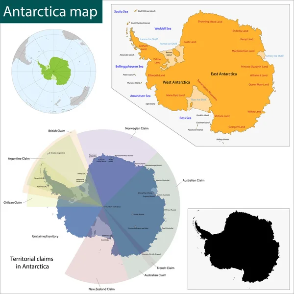
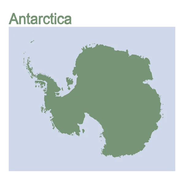
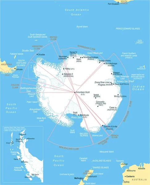
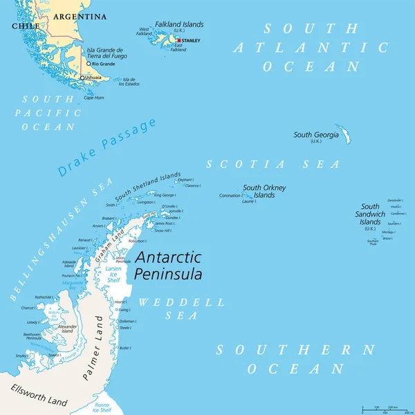
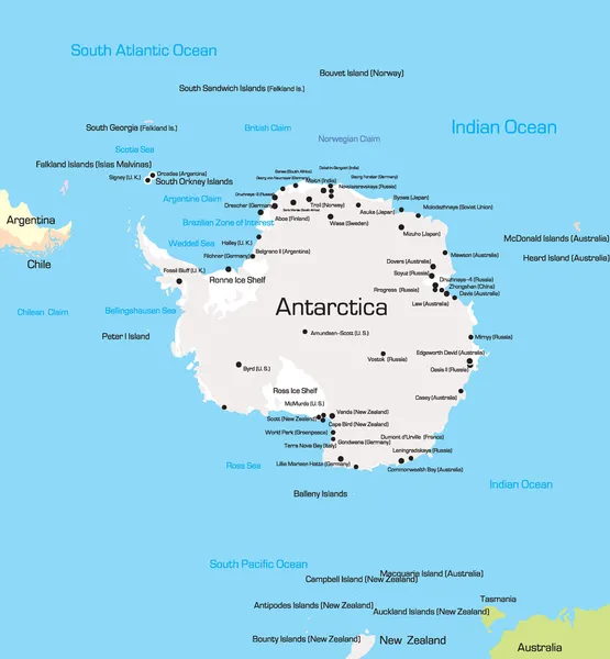
Stock vector Antarctica Map
Published:
Apr.06, 2010 11:08:44
Author:
olinchuk
Views:
3744
Downloads:
28
File type:
vector
/
eps
File size:
1.43 MB
Orginal size:
2807
x
3033
px
Available sizes:
S
(463 x 500)
M
(925 x 1000)
L
(1851 x 2000)
XL
(2807 x 3033)
VECT
(2807 x 3033)
EL0
(2807 x 3033)
Level:
gold
Download Vector
Vector topics:
Color
Sphere
White
Blue
Vector
Background
Circle
Illustration
Space
Isolated
Business
New
Travel
Sea
Border
Old
Vintage
Snow
Global
Work
Pole
Earth
Planet
World
Ocean
Surface
Science
Town
North
Globe
Print
South
Country
West
Map
Geography
Area
Africa
Continent
Land
America
Illustrations
Island
Polar
Marble
Of
Geographic
Indian
Atlas
Antarctica
Similar stock vectors
Antarctic Region Political Map
6000 × 8169
Antarctic Region Political Map
6850 × 9333
Antarctic Peninsula Area, Gray Political Map. From Southern Patagonia And Falkland Islands, To South Georgia, And The South Sandwich Islands, And To South Orkney Islands, And Antarctic Peninsula.
6000 × 6000
Antarctica Map
7000 × 7000
Vector Illustration With Map Of Continent Antarctica
4000 × 4000
Antarctic Region Map - Vector Illustration
5140 × 6335
Antarctic Peninsula Area, Political Map. From Southern Patagonia And Falkland Islands, To South Georgia And The South Sandwich Islands, South Orkney Islands, And Drake Passage, To Antarctic Peninsula.
6000 × 6000