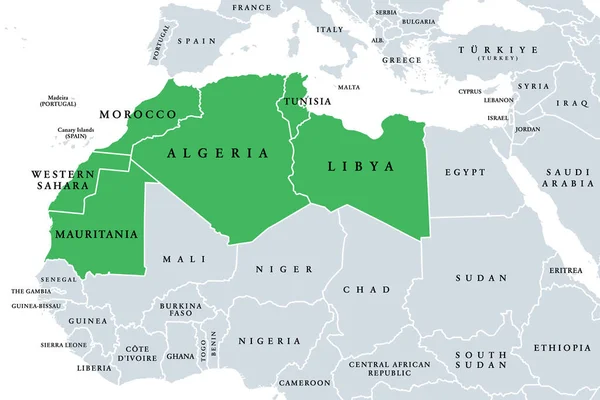
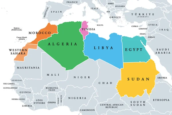
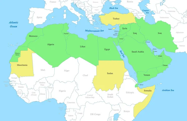
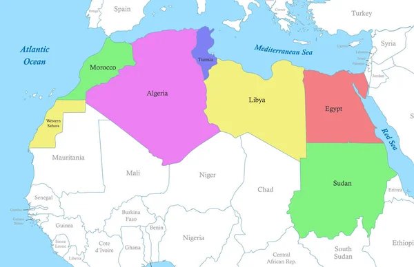
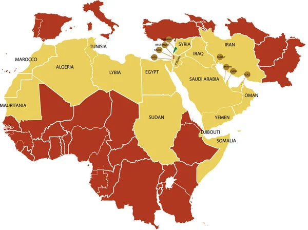
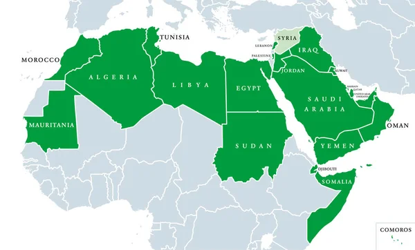
Stock vector Arab League political map. League of Arab States, location in North Africa and Arabia. Regional organization of 22 member states. Syria is suspended since 2011. English labeling. Illustration. Vector.
Published: Feb.11, 2019 09:23:27
Author: Furian
Views: 509
Downloads: 1
File type: vector / eps
File size: 2.42 MB
Orginal size: 10333 x 6237 px
Available sizes:
Level: silver