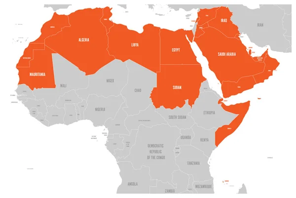
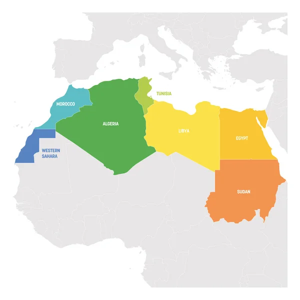
Stock vector Arab World states political map with colorfully higlighted 22 arabic-speaking countries of the Arab League. Northern Africa and Middle East region. Vector illustration

Published: Dec.13, 2019 13:55:42
Author: pyty
Views: 540
Downloads: 5
File type: vector / eps
File size: 0.84 MB
Orginal size: 6000 x 4030 px
Available sizes:
Level: silver
Similar stock vectors
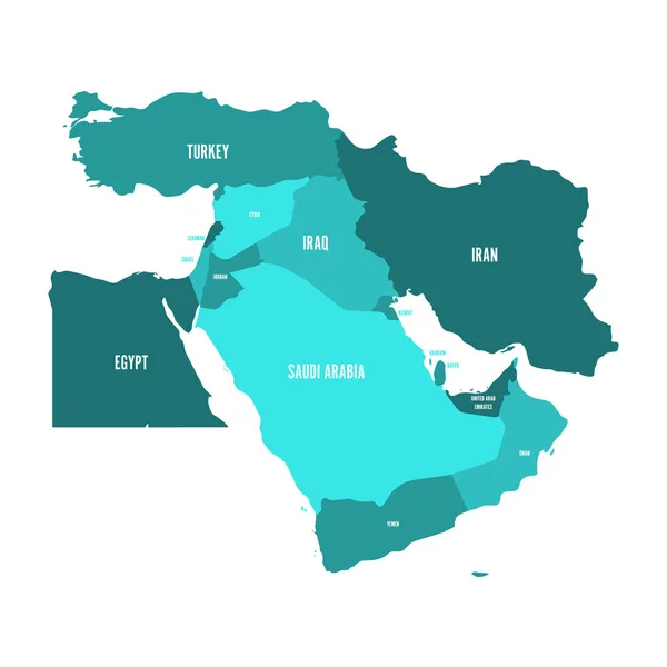
Map Of Middle East, Or Near East, In Shades Of Turquoise Blue. Simple Flat Vector Ilustration
6000 × 6000