Home
Images
Vectors
Videos
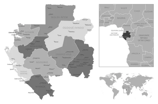
Stock vector Central Africa Region. Colorful map of countries in central part Africa. Vector illustration
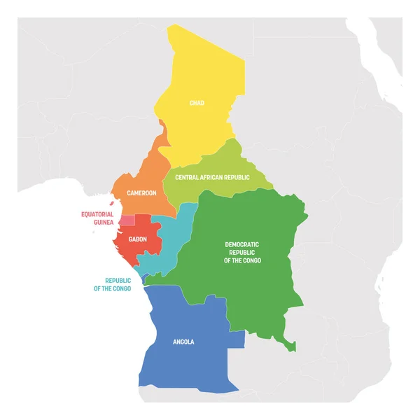
Published:
Feb.11, 2019 11:54:19
Author:
pyty
Views:
5
Downloads:
0
File type:
vector
/
eps
File size:
1.89 MB
Orginal size:
6000
x
6000
px
Available sizes:
S
(500 x 500)
M
(1000 x 1000)
L
(2000 x 2000)
XL
(6000 x 6000)
VECT
(6000 x 6000)
EL0
(6000 x 6000)
Level:
silver
Download Vector
Vector topics:
Color
Image
Group
Vector
Computer
Background
Colorful
Graphic
Illustration
Focus
Design
Painting
Isolated
Business
Labeling
Art
Travel
Border
African
Global
World
Outline
Country
Map
Cartography
Geography
Africa
Continent
Land
Spectrum
State
Middle
Focused
Political
Region
Central
Atlas
GUINEA
Regional
Gabon
Congo
Chad
Cameroon
Angola
Equatorial
Caf
Geopolitical
Political Map
Subregion
Similar stock vectors
South America Region. Map Of Countries In Southern America. Vector Illustration
6000 × 6000
Central Africa Region. Map Of Countries In Central Africa. Vector Illustration
6000 × 6000
Gabon - Highly Detailed Black And White Map. Vector Illustration
7560 × 5001
South America Region. Map Of Countries In Southern America. Vector Illustration
6000 × 6000
Map Of Angola
4150 × 4400
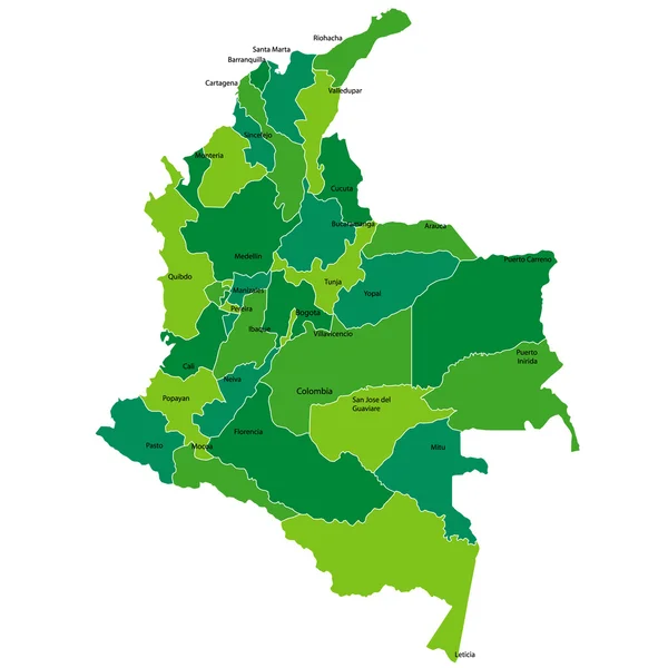
Colorful Colombia Political Map With Clearly Labeled, Separated Layers. Vector Illustration.
3395 × 4153
Districts (okresy) Of Slovakia Colored By Regions Vector Map With Neighbouring Countries And Territories
8334 × 4908
Columbia
4520 × 4520