Home
Images
Vectors
Videos
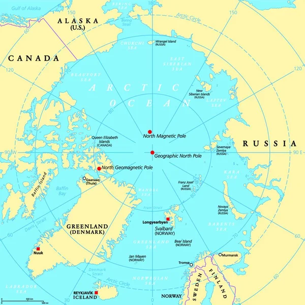
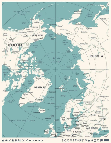
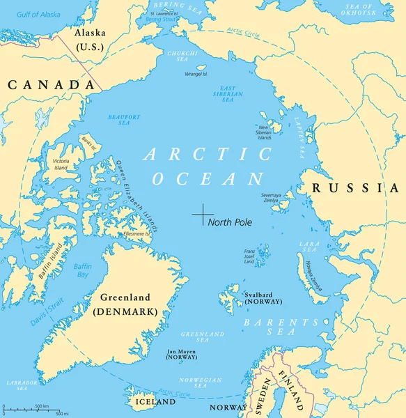
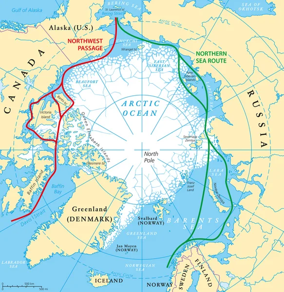
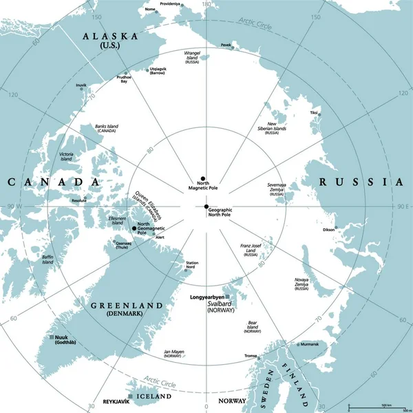
Stock vector Arctic region, gray political map. Polar region around North Pole of Earth. The Arctic Ocean region, with North Magnetic Pole and North Geomagnetic Pole, longitudes and latitudes. Illustration. Vector
Published:
Dec.14, 2021 07:08:35
Author:
PantherMediaSeller
Views:
13
Downloads:
1
File type:
vector
/
zip
File size:
0 MB
Orginal size:
4000
x
4000
px
Available sizes:
S
(500 x 500)
M
(1000 x 1000)
L
(2000 x 2000)
XL
(4000 x 4000)
VECT
(4000 x 4000)
EL0
(4000 x 4000)
Level:
platinum
Download Vector
Vector topics:
Circle
Gray
Pole
Ocean
North
Map
Political
Arctic
Polar
Around
Region
And
North Pole
Arctic Ocean
Similar stock vectors
Countries Within The Arctic Circle, Political Map. Countries Within About 66 Degrees North The Equator And North Pole. Alaska (U.S.), Canada, Finland, Greenland (Denmark), Norway, Sweden And Russia.
6000 × 6000
Geographic Position Of The North Pole Of The Earth, Political Map. Magnetic, Geomagnetic And Geographic North Pole. Map Of The Arctic Ocean And The Arctic Circle With Latitudes And Longitudes. Vector.
4000 × 4000
Arctic Map - Vintage Vector Illustration
5500 × 7057
Arctic Region Political Map
7913 × 8133
Arctic Map - Vintage Vector Illustration
5500 × 7057
Arctic Ocean Map
5837 × 6000
Arctic Ocean Sea Routes Map
5837 × 6000