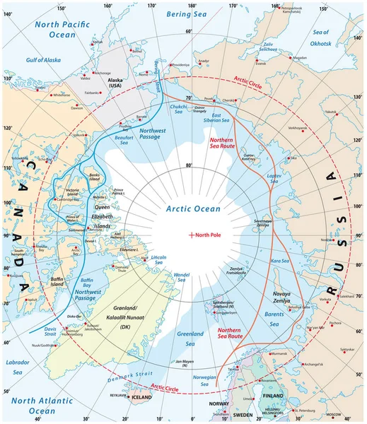
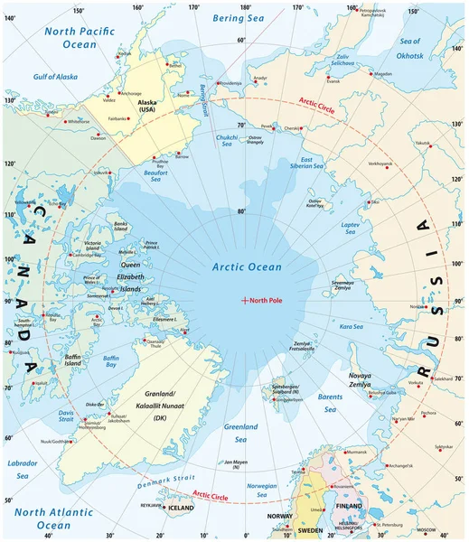
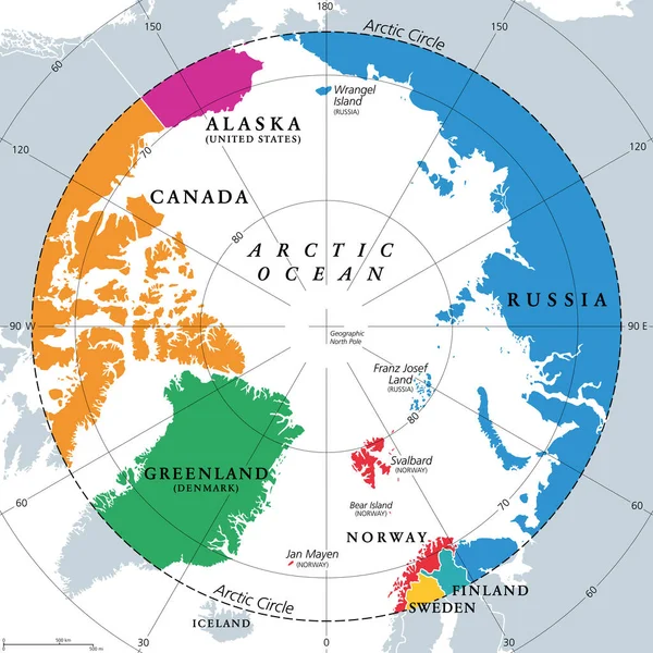
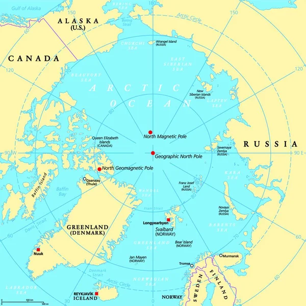
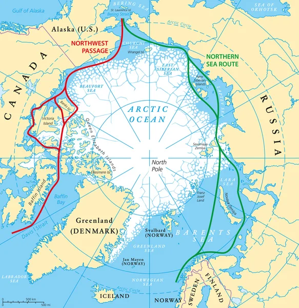
Stock vector Arctic Ocean Sea Routes Map
Published: Jun.16, 2016 15:15:18
Author: Furian
Views: 2956
Downloads: 58
File type: vector / eps
File size: 3.89 MB
Orginal size: 5837 x 6000 px
Available sizes:
Level: silver