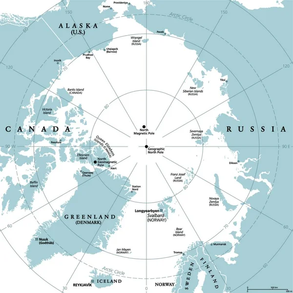
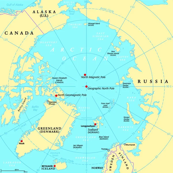
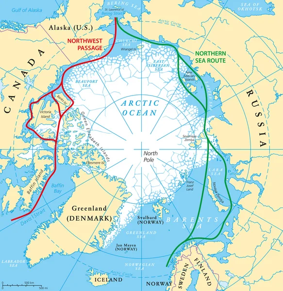
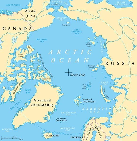
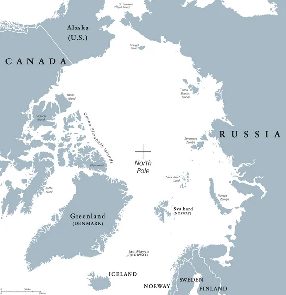
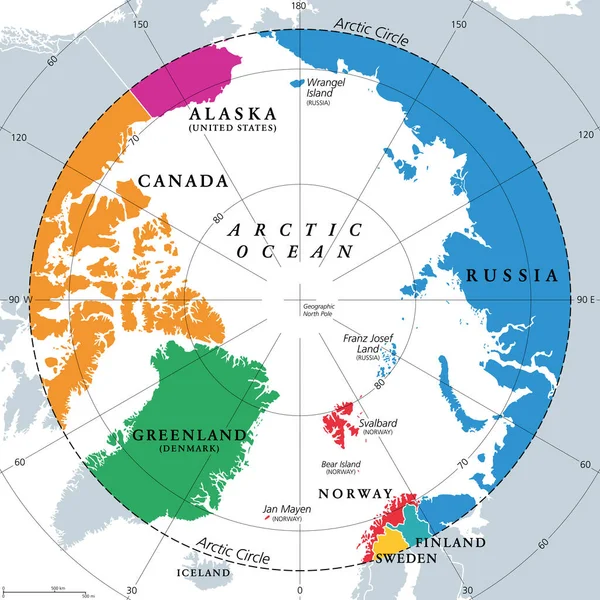
Stock vector Countries within the Arctic Circle, political map. Countries within about 66 degrees north the Equator and North Pole. Alaska (U.S.), Canada, Finland, Greenland (Denmark), Norway, Sweden and Russia.
Published: May.07, 2023 17:41:11
Author: Furian
Views: 698
Downloads: 3
File type: vector / eps
File size: 4 MB
Orginal size: 6000 x 6000 px
Available sizes:
Level: silver