photo free
Home Images Vectors Videos

Stock vector Azores, Madeira, and Canary Islands, gray political map. Autonomous regions of Portugal and Spain, archipelagos of volcanic islands in Macaronesia Region of North Atlantic Ocean, next to North Africa.

Stock vector Azores, Madeira, and Canary Islands, gray political map. Autonomous regions of Portugal and Spain, archipelagos of volcanic islands in Macaronesia Region of North Atlantic Ocean, next to North Africa.
Published: Jan.04, 2023 15:51:12
Author: Furian
Views: 42
Downloads: 3
File type: vector / eps
File size: 2.56 MB
Orginal size: 9000 x 6000 px
Available sizes:
S
(500 x 333)
M
(1000 x 667)
L
(2000 x 1333)
XL
(9000 x 6000)
VECT
(9000 x 6000)
EL0
(9000 x 6000)
Level: silver
Download Vector
Vector topics:

Similar stock vectors

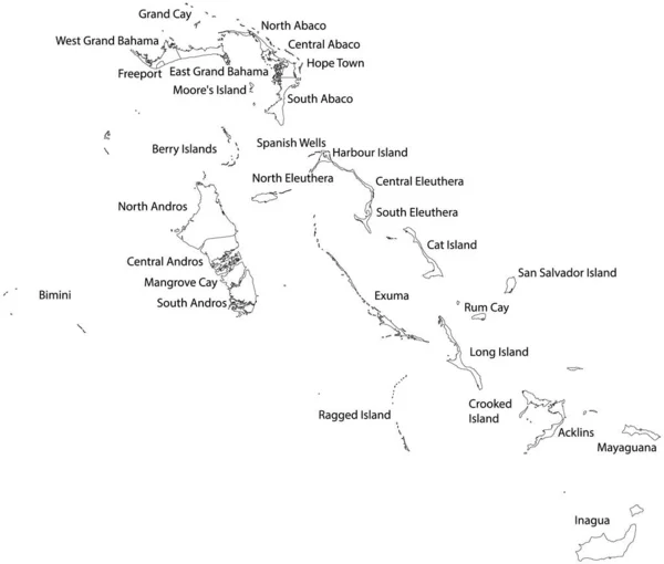
stock vector White vector map of the commonwealth of The Bahamas with black borders and names of it's districts

White Vector Map Of The Commonwealth Of The Bahamas With Black Borders And Names Of It's Districts

5402 × 4600
stock vector State of Palestine Political Map

State Of Palestine Political Map

6000 × 6000
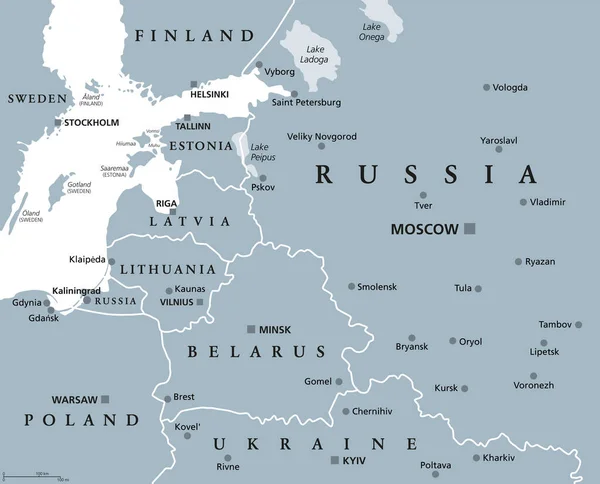
stock vector Baltic States and Kaliningrad Oblast, gray political map. From Finland to Estonia, Latvia and Lithuania to Poland, and from the Russian exclave Kaliningrad, to Belarus and the European Part of Russia.

Baltic States And Kaliningrad Oblast, Gray Political Map. From Finland To Estonia, Latvia And Lithuania To Poland, And From The Russian Exclave Kaliningrad, To Belarus And The European Part Of Russia.

7432 × 6000
stock vector Lithuania and Kaliningrad, political map, with capitals and most important cities. Republic of Lithuania, a country in the Baltic region of Europe, and Kaliningrad Oblast, a federal subject of Russia.

Lithuania And Kaliningrad, Political Map, With Capitals And Most Important Cities. Republic Of Lithuania, A Country In The Baltic Region Of Europe, And Kaliningrad Oblast, A Federal Subject Of Russia.

9000 × 4820
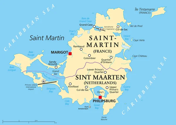
stock vector Saint Martin Island Political Map

Saint Martin Island Political Map

8445 × 6000
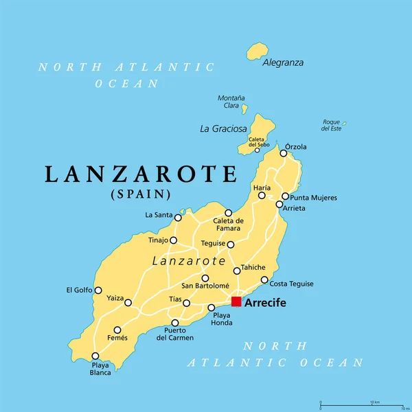
stock vector Lanzarote, political map, with capital Arrecife. Northernmost and easternmost island of Canary Islands, an archipelago and autonomous community of Spain, in the Atlantic Ocean off the coast of Africa.

Lanzarote, Political Map, With Capital Arrecife. Northernmost And Easternmost Island Of Canary Islands, An Archipelago And Autonomous Community Of Spain, In The Atlantic Ocean Off The Coast Of Africa.

6000 × 6000
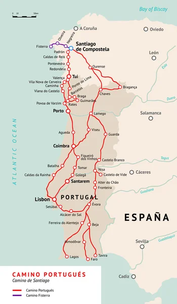
stock vector Camino Portugues map. Camino De Santiago Portugal

Camino Portugues Map. Camino De Santiago Portugal

2917 × 5000
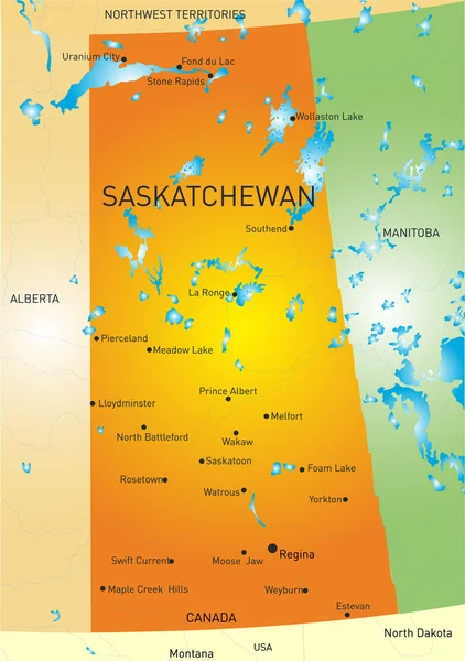
stock vector Saskatchewan province map

Saskatchewan Province Map

4021 × 5709